Get Full Government Meeting Transcripts, Videos, & Alerts Forever!
Get email alerts on the Growth Zones topic
No spam. Unsubscribe anytime.
Residents urge caution as Auburn panel refines growth‑zone map after $8 million sewer award
Summary
Public commenters told the Auburn Comprehensive Plan Committee to avoid rezoning land based on speculative sewer expansion; city staff said an $8 million award will target limited corridors and that growth‑zone decisions remain subject to state law and further committee refinement.
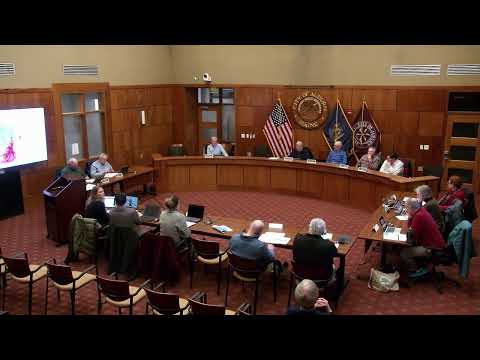
The Auburn Comprehensive Plan Committee heard public warnings Tuesday that changing growth‑zone designations now could spur development in areas not ready for utility service.
"Don't change something now based on something that doesn't have a clear plan or clear timeline," said Chelsea Eaton of Trap Road during the public‑comment period, urging the committee to weigh long‑term costs and benefits before designating parcels as high‑density based on possible future water and sewer extensions.
Committee members and staff responded that the committee is refining but not finalizing the future‑land‑use map. Chair John said the city was recently awarded about $8 million to begin water‑and‑sewer extensions in a targeted corridor—either South Main and Vickery or portions of Broad Street—and that the $8 million will only start construction in those priority areas, not convert the entire growth zone.
"$8 million isn't going to do all that," John said, adding the city is evaluating whether to prioritize South Main and Vickery or Broad Street. Staff advised the committee that state law affects densities where public utilities exist and that map choices should reflect utilities, environmental protections and competing city priorities.
Kathy Shaw, who identified herself as operator of Valley View Farm, said parcel owners are already receiving development inquiries and urged the committee to "cherish our resources" and protect agricultural and open space. Steven, who provided a home address of 575 Johnson Road, encouraged committee members to visit different parts of town before finalizing land‑use decisions, noting that maps can conceal important topography and wetlands.
Committee members said they had intentionally reduced the overall growth zone compared with earlier plans and that many edits shown tonight were technical or "housekeeping" changes. Staff described specific map edits—floodplain alignments, parcel boundary cleanups and a set of hatched/pending parcels that need additional research—and agreed to show both the current sewer footprint and proposed edits at the next meeting.
The committee directed staff to confirm where sewer lines exist with the sewer district (staff noted a 200‑foot adjacency rule used in the mapping) and to return with clarified parcel boundaries and hatched markings for parcels requiring further study. Members scheduled concentrated working sessions on policies and actions and asked committee participants to prepare land‑use category suggestions ahead of a March 19 meeting extended to 9 p.m.
The committee approved the prior meeting minutes and adjourned after completing the map‑review agenda item. Staff will implement the agreed parcel cleanups and circulate updated maps ahead of the next meetings.