Get Full Government Meeting Transcripts, Videos, & Alerts Forever!
Get email alerts on the Land Use Map topic
No spam. Unsubscribe anytime.
Auburn committee narrows draft growth-area map, debates how water, sewer and state rules should shape density
Summary
Committee members spent the bulk of the Nov. 18 meeting reviewing a draft future land‑use map and debating how state growth-area rules, water/sewer availability and the Lake Auburn watershed overlay should determine where higher-density development is allowed. Staff will deliver an interactive dashboard and revised map ahead of the Dec. 16 meeting.
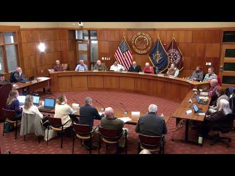
Auburn’s Comprehensive Planning Committee devoted most of its Nov. 18 meeting to resolving conflicts on a draft future land‑use map, focusing on where the city should designate “growth areas” subject to recent state density rules.
Staff planner Alli presented a layered draft map and summarized proposed state rulemaking that treats three broad place-types differently: growth areas with water and sewer, areas with water and sewer that are not designated growth areas, and growth areas without water and sewer. Alli told the committee that in growth areas served by water and sewer, municipalities cannot set minimum lot sizes larger than 5,000 square feet for the first four residential units on a lot; where septic governs, state septic rules typically impose about 20,000 square feet per dwelling unit.
Committee members asked for clarification on what the 5,000-square-foot standard actually requires of cities. Alli said municipalities must allow the possibility of multiple units on small lots (they cannot retain larger minimum-lot-size barriers), but property owners are not compelled to build the maximum number of units: “It’s not that you have to put four units on the property, but the ability has to be there,” she said.
The discussion quickly moved to a set of mapping trade-offs. Large portions of Auburn’s A‑zone—land in and around the Lake Auburn watershed that is regulated by an overlay—overlap with areas that either have water and sewer or are adjacent to service lines. Committee members agreed the watershed overlay should remain visually distinct and generally be treated as low‑growth because the overlay carries state exemptions and restrictive local ordinances; however, they also flagged several parcels (cemeteries, a gravel pit, ball fields and airport‑adjacent land) that are unlikely to be developed and may be exceptions.
Members debated how to treat areas that are “aspirational” for future sewer or water extension. The planning staff cited the statutory test that a building is deemed accessible to sewer if it comes within 200 feet of a wastewater system, but said they did not yet have the parcel‑level GIS analysis to resolve small gaps. Several members asked staff to distinguish on the map between (a) parcels currently served, (b) parcels that are within planned extension corridors and (c) parcels surrounded by service but not themselves served.
The committee also discussed political and procedural implications of labeling land as high‑growth before infrastructure exists. Some members argued that including an area in the comp plan’s growth zone can help attract funding and spur infrastructure investment; others warned that doing so creates expectations for denser zoning and could alter existing neighborhood character if implemented without careful land‑use characteristics. “It’s a chicken‑and‑the‑egg thing,” one member said. The committee generally favored keeping aspirational areas visible in the growth zone but distinguishing them visually and by land‑use characteristics so future zoning steps can be tailored.
Members asked for more accessible, interactive map tools. Staff committed to produce a dashboard/story map and to circulate draft questions and a packet for committee review: materials will be compiled by Dec. 4–5 for the committee packet ahead of the next meeting on Dec. 16. That packet will include a proposed checklist of land‑use characteristics (building heights, housing types, street connectivity, open‑space expectations) to guide how zoning would be shaped once growth‑area boundaries are refined.
The meeting record shows no formal changes to the map at this session; the committee’s direction was procedural: to identify ambiguous parcels for further review, to use a clearer color scheme (including a separate color for planned/aspirational service), and to review an interactive map before the Dec. 16 meeting.