Get Full Government Meeting Transcripts, Videos, & Alerts Forever!
Get email alerts on the Land Use Growth Areas topic
No spam. Unsubscribe anytime.
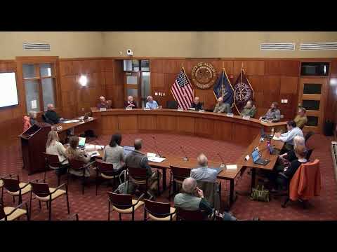
Auburn committee ties high‑density growth areas to water, sewer and transportation capacity
Summary
The comprehensive‑plan steering committee agreed to guide its first draft growth‑area map by existing and planned water/sewer service and by transportation capacity, asking staff and consultants to produce a preliminary map using a conservative 200‑foot connection buffer for review at the Nov. 18 meeting.
The Auburn comprehensive‑plan steering committee on Tuesday discussed the principles it will use to draw a preliminary future land‑use map, and members agreed to prioritize areas that are served by or realistically reachable from public water and sewer within the plan’s 10‑year horizon. Chair John Cleveland said the group will give staff and consultants a principles‑based direction and expect a draft map at the next meeting.
"If you're going to have high density and high growth areas, you really need to have public infrastructure, water and sewer," Cleveland said, arguing the map should be usable and reasonably achievable over a 10‑year period. Committee members repeatedly returned to infrastructure as the primary filter for identifying potential growth zones.
The group discussed how far beyond existing mains the committee should reach when designating growth areas. Several members recommended starting with a 200‑foot rule of thumb—the common connection threshold cited by local utility staff—and then reviewing the resulting polygons. "For the initial cut we would take a 200‑ft buffer and see what it looks like," planning staff David said during the meeting, noting lots that intersect that buffer may cover more area than a simple line on a map.
Participants also emphasized transportation capacity as a secondary consideration. Members said road networks, not just the presence of a single arterial, matter for supporting dense development and noted that some large projects require traffic studies and state permitting if they generate enough peak‑hour trips.
Costs for extending infrastructure figured prominently in the discussion. A public commenter and utility board members cited a wide range of per‑foot estimates; committee members warned that extending water or sewer a quarter‑mile can become prohibitively expensive in many parts of the city. Committee member Jeff said cost and the existence of planned expansions should be considered: where the city or district is already pursuing an extension, those corridors could sensibly be included in an initial growth overlay.
The committee also asked staff to layer environmental and land‑use protections on the utility‑based map. Areas such as shoreland zones, floodplains, and permanently conserved parcels would remain protected even if they fell inside a growth polygon, members said.
Next steps: staff and consultants will prepare a preliminary map using the agreed principles (water/sewer terminii, a conservative 200‑ft buffer, and planned expansions) and present a draft at the committee's next meeting on Nov. 18 for refinement and public review.