Get Full Government Meeting Transcripts, Videos, & Alerts Forever!
Commissioners weigh where to apply new WOOI wildfire code, ask staff for draft GIS map
Summary
Under House Bill 48 the county must select which wildland‑urban interface (WOOI) zones it will adopt for enforcement. County staff and a state consultant presented risk maps; commissioners discussed choosing a cutoff (state requires inclusion of risk score 5 or higher — county may opt for 6 to narrow scope), inspection workload, training and whether the county or state should perform property inspections; staff will prepare a draft map showing subdivisions and estimated structure counts for next meeting.
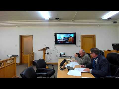
County planning staff and a state representative briefed the Rich County Commission on mapping and enforcement choices for the new wildland‑urban interface code (WOOI) required by the Legislature under House Bill 48.
The state model scores "structure exposure" across the landscape. The presenter explained the statute requires counties to include any area the state rates as a 5 or higher; counties may draw boundaries that include higher scores (6 or 7) to limit enforcement. "Everything that is a five needs…
Already have an account? Log in
Subscribe to keep reading
Unlock the rest of this article — and every article on Citizen Portal.
- Unlimited articles
- AI-powered breakdowns of topics, speakers, decisions, and budgets
- Instant alerts when your location has a new meeting
- Follow topics and more locations
- 1,000 AI Insights / month, plus AI Chat