Get Full Government Meeting Transcripts, Videos, & Alerts Forever!
Get email alerts on the Land Use Boundary Adjustment topic
No spam. Unsubscribe anytime.
Coastal permit administrator approves boundary line adjustment correcting 45‑year encroachment
Summary
The Coastal Permit Administrator approved a boundary line adjustment for two rural residential lots in Mendocino County, correcting a long‑standing encroachment that owners said placed part of a house and infrastructure on a neighbor’s parcel; staff recommended the change subject to conditions including a CDFW notice about potential biological studies.
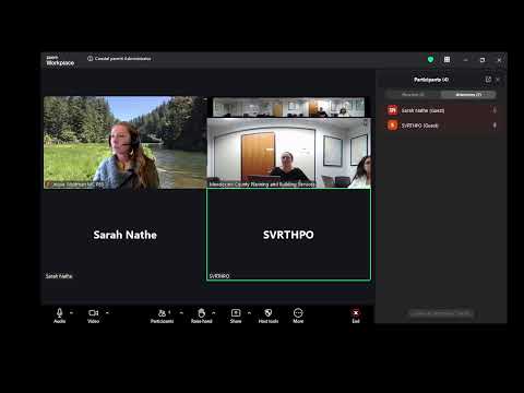
MENDOCINO COUNTY — The Mendocino County Coastal Permit Administrator on April 9 approved boundary line adjustment B-2025-000011 to reconfigure two legal nonconforming rural residential lots, resolving an encroachment discovered by a homeowner after more than four decades.
Marco Rodriguez, project planner, told the administrator the adjustment would increase Lot 1 (APN 123100017) from 1.99 acres to 2.35 acres and decrease Lot 2 (APN 123100018) from about 1.43843 acres to 1.07 acres. The parcels lie in the coastal zone east of the town of Albion on Albian Ridge G Road. Staff recommended approval, citing consistency with the local coastal program and a categorical exemption from the California Environmental Quality Act under section 15305(a) for minor lot line adjustments that do not create new parcels.
The adjustment includes Condition 7, added to address a California Department of Fish and Wildlife recommendation that a note be placed on deeds and legal descriptions stating that future development may require biological studies or be subject to restrictions and must conform to environmentally sensitive habitat provisions of the local coastal program.
Homeowner Susan Hoffberg told the administrator she had lived on the property for more than 45 years and was “shocked to find out that part of my house and much of my infrastructure was on my neighbor’s property,” and said the application was meant to correct the legal record so the on‑the‑ground situation matched ownership.
Margaret Halib, the owner of the other parcel, stated she was fully supportive of the change.
With no public speakers appearing in the room or on Zoom beyond the applicants, the Coastal Permit Administrator said the project appeared straightforward and approved it “subject to the findings and the conditions contained within the staff report.” The approval resolves the identified encroachment for future owners but does not authorize any new ground‑disturbing work beyond what occurred in 2015 without required building or grading permits.
The staff report notes the project was referred to agencies in June 2025 and that CDFW’s recommendation led to the deed‑notation condition. The record does not show any public opposition or additional agency objections during the noticing period.
Next steps: the adjustment is approved subject to the staff conditions; any future development on the parcels remains subject to habitat protections and to required permits and reviews.