Get Full Government Meeting Transcripts, Videos, & Alerts Forever!
Get email alerts on the Subdivision Development topic
No spam. Unsubscribe anytime.
Peachtree City planners defer Bradshaw Estates concept plat amid traffic, gating and connectivity concerns
Summary
The commission deferred a 58-lot Bradshaw Estates concept plat to April 13, directing the applicant to supply a construction traffic management plan, consider an emergency-only gate and golf-cart bypass, and coordinate certificate-of-occupancy sequencing with the north–south connector across the creek.
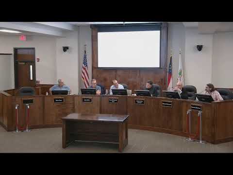
The Peachtree City Planning Commission on March 9 deferred action on the Bradshaw Estates concept plat, a proposed 58-lot single-family subdivision zoned R43, after extended questioning from commissioners and residents about traffic, emergency response, buffers and long-term connectivity.
Staff told the commission the revised concept plat reduced lots from 59 to 58 by adding a full vehicular connection across the creek between the northern and southern portions; the change was made in response to concerns from the city police and fire departments about extended response times to the rear portion of nearby Kedron Hills and Atoria Lane. The developer proposed 58 one-acre lots with standard R43 setbacks and a minimum dwelling unit floor area of 1,500 square feet. Staff noted the developer is providing roughly 2.43 acres of open space but explained that not all green-belt areas count toward the ordinances open-space requirement.
Applicant Rick Lindsay, representing Chadwick Homes, said the owner (Bradshaw family) declined to provide a phase-three plan and that the client has a contract on phases one and two. Lindsay said the developer has agreed to the road connection requested by emergency services and that grading will be phased so lots are cleared only when individual parcels are developed. In response to multiple public emails and commissioner questions, Lindsay addressed four major concern areas: traffic and cut-through potential, buffers and tree saving, stormwater detention and coordination with state and city stream buffers, and emergency access. He told commissioners the development would have numerous stop signs and a 25–30 mph speed limit; he said curb-and-gutter roads and detention ponds will manage runoff and the developer will adhere to state and city water-protection rules.
Commissioners pressed for additional safeguards. Questions and concerns included whether a gate could be installed on the new connection (the city has allowed gates in prior cases but cannot require them under code without council action), whether phase three ownership or layout would increase density, precise location and conveyance of the 2.43 acres of open space, and the absence of a localized traffic study focused on the new connection and cumulative development along SR 54 and Sumar Road. City engineer John Schnik explained an earlier gating arrangement where land and maintenance responsibilities were conveyed to a homeowners association.
Multiple commissioners proposed conditions to reduce cut-through traffic and protect surrounding neighborhoods: (1) require the applicant to submit a construction traffic management plan that directs construction vehicles to use Sumar Road only; (2) explore a gate at the Sims Road entrance restricted to emergency vehicles (with a golf-cart bypass path around the gate so nonmotorized users retain access); (3) tie any certificate-of-occupancy issuance in the Bradshaw north phase to completion, paving and city acceptance of the vehicular connector across the creek so occupancy is not allowed until the connection exists; and (4) provide a more targeted traffic analysis for the neighborhood and the Sumar Road/Highway 54 intersections that accounts for nearby mixed-use and residential developments.
The applicant indicated willingness to work with staff and first responders on an emergency-only access arrangement, to provide a construction traffic management plan, to work on golf-cart connectivity and to consider CO sequencing. After discussion the commission voted to defer the concept plat to the April 13 Planning Commission meeting and asked the applicant to return with the requested materials (traffic study/analysis, construction traffic management plan, proposed gate/emergency-access approach and a golf-cart bypass, and proposals for CO sequencing tied to construction of the north–south connector).
Commissioners and staff emphasized that the property is already zoned R43 and that the concept plat meets ordinance standards; their deliberations focused on mitigation measures and sequencing to reduce impacts on surrounding neighborhoods and emergency response capability. The deferral gives staff and the applicant time to refine plans and provide additional technical documentation for the April 13 agenda.