Get Full Government Meeting Transcripts, Videos, & Alerts Forever!
Get email alerts on the Census Data Access topic
No spam. Unsubscribe anytime.
Census webinar shows how to find and map small‑geography data on data.census.gov
Summary
A U.S. Census Bureau training demonstrated when to use Decennial Census vs. ACS data, how to retrieve blocks, block groups, tracts and ZCTAs on data.census.gov, and walked participants through mapping, downloads and common pitfalls such as margins of error and ZCTA clipping behavior.
Krystal Jimerson, a Training Specialist at the U.S. Census Bureau, opened a webinar that walked users step‑by‑step through finding and mapping small‑geography data on data.census.gov.
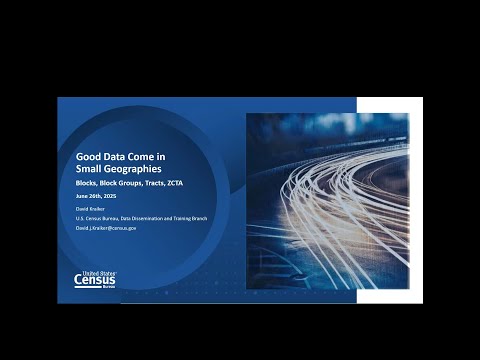
David Kraiker, a Data Dissemination Specialist with 28 years at the Census Bureau, led the presentation and demonstrated how to use Advanced Search, the address “teardrop” lookup, and the portal’s mapping and download tools. "The block is the smallest geographic unit for which you can get census data," Kraiker said, noting that block‑level counts come only from the Decennial Census and that ACS does not provide block data.
Kraiker contrasted the Decennial Census with the American Community Survey (ACS). The Decennial is a 100% count of population and housing at a point in time; ACS is an ongoing sample that measures characteristics such as income, education and housing. He explained the 65,000‑person threshold that affects ACS availability: "Anything under 65,000 population, you have to use five‑year data," he said, adding that geographies above that threshold may have one‑year ACS estimates.
The presenter described the nesting hierarchy—nation → state → county → tract → block group → block—and clarified which products are available at each level (for example, tract and block‑group data are accessible via ACS five‑year tables, while block data come from the Decennial only). He defined Zip Code Tabulation Areas (ZCTAs) as census‑constructed approximations of postal ZIP codes created once per decade and cautioned that ZCTAs can have widely varying populations and corresponding large margins of error in ACS tables.
Using a New Jersey address example, Kraiker demonstrated retrieving a block (Decennial only), a block group (ACS eligible), and a tract, then showed how to open tables, check margins of error, and download data. He demonstrated creating a choropleth map (for example, percent working from home), explained how to save and share the query URL, and showed bulk download options (Excel, CSV, ZIP) and the ZIP option for GIS users who need geocodes.
Kraiker also walked through mapping pitfalls: when selecting ZCTAs 'within' a county the portal returns whole ZCTAs even if only a small portion lies inside the county boundary, which can complicate interpretation of county‑level maps. For GIS shapefiles and mapping files he pointed attendees to the Census site’s geography resources (TIGER/Line shapefiles, cartographic boundary files, relationship/gazetteer files and API tallies) and recommended cartographic boundary files for lighter mapping tasks.
In Q&A, Kraiker recommended tracts for thematic mapping at the county level: "If you're doing thematic maps… I tend to recommend Census tract," he said. When asked whether ZCTAs are updated between Decennial cycles he said they have traditionally been produced once per decade but that methodology may be evolving and deferred to the Census concepts and definitions page linked in chat. On who adjusts geographies, he explained blocks are updated based on visible ground features and are renumbered every ten years with a Bureau process involving algorithms and local planners; block groups and tracts are developed in consultation with county or city planners.
On analytic limits, Kraiker clarified that portal users cannot build custom cross‑tabulations for small geographies via the site (users must rely on pre‑tabulated items or download data and perform cross‑tabs offline). Asked about reasonable margins of error he offered a personal rule of thumb: "If the margin of error number is larger than the estimate, I hesitate," noting he is not a statistician. He also explained the ACS five‑year release cadence: each December release aggregates the previous five years (e.g., 2022 data cover 2018–2022), so consecutive releases overlap by four years.
The Census Bureau said the recording and supplemental materials will be posted on the Census Academy site within 30 business days and encouraged attendees to submit questions via the Q&A panel or by email.
This training emphasized practical steps for locating small‑area data, interpreting ACS margins of error, and using built‑in mapping and download features while flagging common user pitfalls such as ZCTA clipping and interpretation limits for small populations.