Get Full Government Meeting Transcripts, Videos, & Alerts Forever!
Get email alerts on the Land Use topic
No spam. Unsubscribe anytime.
Court approves Cardwell Lane rezoning to allow low-density multifamily; mixed votes on supporting findings
Summary
After debating several required findings of fact, Franklin County Fiscal Court passed a second-reading ordinance rezoning a 2.45-acre parcel at 827 Cardwell Lane from Rural Residential to Rural Low-Density Multifamily; the final roll-call vote was 5-2 in favor.
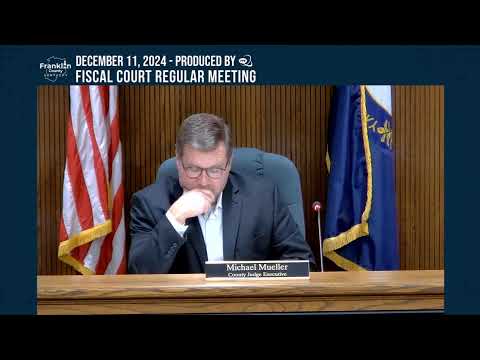
Franklin County Fiscal Court on Dec. 11 approved a second-reading ordinance that rezones a 2.45-acre parcel at 827 Cardwell Lane from Rural Residential (RB) to Rural Low-Density Multifamily (RL).
The court first considered individual findings of fact required under KRS 100.213. Commissioners debated staff recommendations and infrastructure constraints including whether road improvements or sewer capacity would support multifamily development; some findings failed to carry on roll call while others passed. After the findings process, the second-reading ordinance passed on roll call with five votes in favor and two opposed.
Roll-call result: Squire Sebastian (yes); Squire Blackburn (yes); Squire Dius (no); Squire Herod (yes); Squire Tanner (yes); Squire Wisman (no); Judge Muller (yes). The motion carried.
What it means: the zoning change authorizes the RL district for the parcel and directs staff to update the county's zoning map and file the ordinance. Commissioners asked staff to ensure the record reflects Planning Commission recommendations and to correct a packet typographical error that had incorrectly said "denied" instead of "recommend approve." The court noted that any future development will be subject to site-specific reviews and any infrastructure or sewer-deficiency constraints identified in the record.
Next steps: planning staff will update the map and file the ordinance; any developer proposals will follow standard permitting, record-review and infrastructure-availability checks before construction.