Get Full Government Meeting Transcripts, Videos, & Alerts Forever!
Get email alerts on the North Main Study topic
No spam. Unsubscribe anytime.
Ann Arbor presents Vision Zero plans for North Main with focus on speed reduction and sidewalks
Summary
City staff and consultants outlined the Vision Zero North Main Transportation Study proposing design changes to improve safety, fill sidewalk gaps and calm speeds between Huron Street and M‑14; a May design charrette will present concept alternatives.
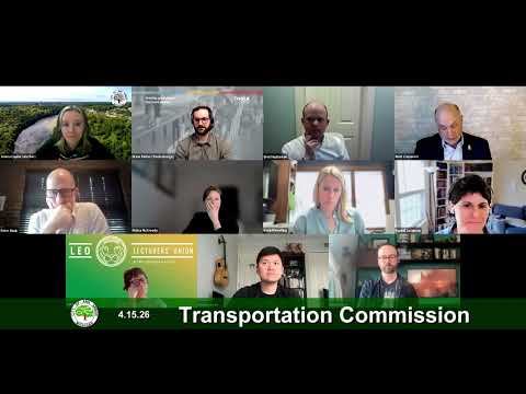
City transportation planners and their consultant presented the Vision Zero North Main Transportation Study to the Ann Arbor Transportation Commission on April 15, saying the project’s goal is to develop a concept design for North Main Street between Huron Street and M‑14 that improves safety, connectivity and placemaking.
Suzanne Flowers, a city transportation planner, opened the presentation and introduced the project team. Drew Parker of Tool Design gave a detailed account of the corridor’s history and current conditions, saying the study was prompted by decades of changes that left North Main with high speeds, missing sidewalks and limited crossing protections.
Parker said a 10-year crash review shows no fatalities but 15 serious-injury crashes, seven of which involved people walking. Speed data collected for the study found that north of Depot Street 50% of drivers exceeded the 45 mph posted limit and the 85th percentile speed measured about 49 mph; south of Depot Street 78% of drivers exceeded the 30 mph limit and the 85th percentile was about 38 mph. The team highlighted locations with missing sidewalks, limited lighting and no bicycle facilities.
The project team summarized outreach from a March discovery charrette and an online survey: 451 respondents (100% completion) and more than 900 map comments. Stakeholders and residents repeatedly cited excessive speeds, poor pedestrian crossings, sidewalk gaps and property‑access difficulties—issues concentrated north of Depot Street and near the M‑14 interchange. Property owners said the corridor functions more like a high‑speed arterial than a gateway to downtown and stressed placemaking as a priority.
Parker said the study’s five goals are to create places for people, improve safety for all users, increase mobility and access, support land-use and economic development, and meet city sustainability targets. He said the team is considering design tools such as lane reductions, roundabouts, enhanced crossings and streetscaping to slow vehicles and improve access.
During questions, commissioners asked whether the city can change posted speed limits and how the project will coordinate with MDOT. City staff and consultants said state rules currently tie posted speeds to 85th‑percentile measurements and that MDOT has been engaged from the start; they emphasized that design changes—rather than immediate posted-limit changes—are the primary means to reduce speeds. Drew Parker said the team’s design objective is to limit motor-vehicle speeds to about 20 mph at key conflict points to improve survivability in crashes.
The team invited the public to a design charrette May 18–21 at the DDA offices in Kerrytown, where concept alternatives will be presented and refined with stakeholders. The commission did not take formal action on the study at the meeting; staff said they will return after the charrette with preferred concepts and further analysis.
Next steps: the May 18–21 design charrette and follow-up engagement to evaluate alternatives and identify a preferred concept.