Get Full Government Meeting Transcripts, Videos, & Alerts Forever!
Get email alerts on the Land Use Development topic
No spam. Unsubscribe anytime.
Lemoore council approves 80-lot subdivision and zoning change amid traffic and infrastructure concerns
Summary
The council voted 4-1 to adopt a general-plan amendment, introduce an ordinance to rezone land, and approve a tentative map for Tract 948, an 80-lot subdivision on about 17.31 acres. Neighbors raised concerns about sidewalks, traffic, and emergency services; council members discussed roundabouts, community facilities districts and impact fees.
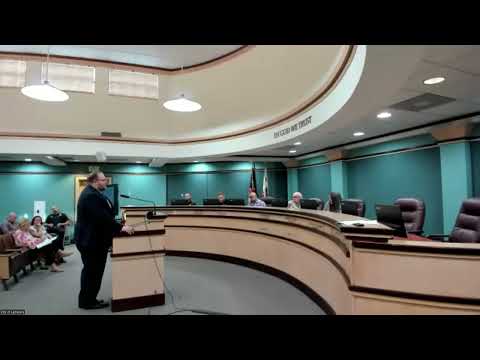
The Lemoore City Council narrowly approved a general plan amendment, zoning map amendment and tentative subdivision map for a proposed 80-lot housing subdivision (Tract 948) on April 7, advancing plans for about 17.31 acres between Vine and Champion streets.
City planner Steve Brant described the project as an infill subdivision proposed by Coker, Ellsworth and Dan Pace that would create 80 single-family lots (most between 5,500 and 7,000 square feet), a 1.26-acre public park and an on-site storm basin. The site would be rezoned from very low-density to low-density residential to permit the proposed lot sizes. Staff completed a mitigated negative declaration for CEQA and reported that vehicle-miles-traveled (VMT) analysis was low and existing intersection level-of-service was A.
Developers and their engineer, Mike Hamsley of Harbison International, said the plan provides entry-level homes at lot sizes averaging about 6,000 square feet and noted prior approvals for the property that expired in 2016. Several residents raised objections during the public hearing, saying the area lacks sidewalks and curb and gutter, that adding roughly 160 additional cars would strain local streets, and that parks in the area should be multi-use with field infrastructure.
Council members pressed staff about where access points would connect to Champion and Vine, whether the park would include amenities such as a backstop, proposed walls and fences along property lines, and how traffic impact fees or a Community Facilities District (CFD) would help fund road improvements. Staff said the project would provide two access points tying into an existing Vine cul-de-sac and that traffic impact fees contributed by the developer would be available to fund larger off-site improvements when thresholds are met. Engineers advised that warrant studies determine when intersections require four-way stops or signals; councilmembers also suggested roundabouts as a lower-cost option.
After extended debate about the city's appetite for more housing in particular locations and how to manage infrastructure, Councilmember Lyons moved to adopt Resolution 2026-08 approving General Plan Amendment 2026-01 and to introduce Ordinance 2026-04 for Zoning Map Amendment 2026-01; the motion passed 4-1 (Councilmember Wonnacott voted no).
What happens next: Staff will return with the formal ordinance language and subsequent entitlements for second reading and final map approval; any off-site improvements or CFD formation would be considered during project engineering and final map stages.