Get Full Government Meeting Transcripts, Videos, & Alerts Forever!
Get email alerts on the Dam Removal topic
No spam. Unsubscribe anytime.
State officials say small dam removals aim to reduce hazards; modeling required before changes to flood mapping
Summary
DNR presenters discussed recent run‑of‑river dam removals, saying state modeling and permitting accompany removals and that, in general, removals can lessen local inundation though effects depend on river system context and downstream infrastructure.
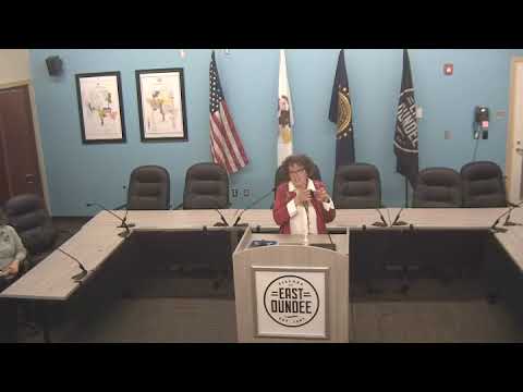
At an East Dundee workshop, Illinois Department of Natural Resources engineer Tara McFarland described why the state sometimes removes small run‑of‑river dams, citing public‑safety concerns with scour holes and drownings and noting broader ecosystem benefits. McFarland said the state models removals with communities and seeks options before removal: "we model it we look at it before... there's lots of options."
Speakers said dam removals are evaluated for public safety, habitat and hydraulic impacts and that communities and federal partners — including the U.S. Army Corps of Engineers — participate in planning and funding where appropriate. McFarland said that, in her view, removing a dam often reduces upstream flooding because "now you've got more land and it's drier," but she emphasized that every river system interacts with other downstream structures and that modeling is the only reliable way to show site‑specific impacts.
Attendees asked whether FEMA and DNR will revise flood maps before or after removals; state staff said substantial mapping modifications typically follow engineered studies and the Letter of Map Revision (LOMR) or conditional LOMR process. Conley explained that if a project changes the modeled floodway by more than a tenth of a foot, applicants are generally required to obtain a conditional LOMR from FEMA with hydraulic and hydrologic analyses before proceeding.
The presenters did not announce any formal local projects or mapping changes at the meeting. They advised communities to coordinate engineering studies, follow permit requirements and engage early with DNR and Corps staff to identify funding and technical pathways for projects that would change floodplain hydraulics.