Get Full Government Meeting Transcripts, Videos, & Alerts Forever!
Get email alerts on the Flood Preparedness topic
No spam. Unsubscribe anytime.
DNR outlines flood-preparedness tools and services for East Dundee
Summary
Illinois Department of Natural Resources staff presented mapping tools, surveillance capabilities, mitigation grants and permitting responsibilities at an East Dundee workshop, urging residents and officials to plan ahead and use available state and FEMA resources.
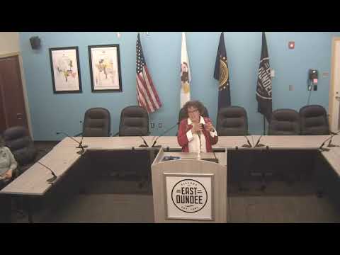
Tara McFarland of the Illinois Department of Natural Resources’ Office of Water Resources told East Dundee residents and local officials at a community workshop that flooding is a recurring risk in the region and that the state offers planning, response and recovery services to help communities prepare. “It’s not a matter of if you’re going to flood; it’s a matter of when you’re going to flood,” she said.
McFarland said the office is organized into engineering studies (capital programs), resource management (permits and regulatory work) and coastal management, and that those groups provide different forms of assistance depending on whether a community is planning ahead, responding to an event or recovering afterward. She described a flood‑surveillance program that deploys field teams with cameras, drones and survey crews to document high‑water marks and create maps for emergency operation centers to support evacuations and identify flooded roads.
State floodplain coordinator Erin Conley explained how FEMA’s National Flood Insurance Program (NFIP) interacts with local duties: communities that participate by adopting an ordinance can access federal flood insurance, mapping and grants but must enforce permitting rules and designate a floodplain manager. Conley pointed attendees to state tools — including an elevation‑finder app and a ‘‘Safer Structures at Flood Risk’’ dataset that estimates potential damage by event probability — and encouraged officials to consider the Community Rating System for insurance discounts.
Presenters also outlined mitigation options such as state buyouts for repeatedly damaged structures, engineering studies the state can perform (with potential waiting lists), and federal partnership opportunities (Corps and FEMA grants). They urged early planning and technical studies for projects such as upsizing culverts or channel modifications to avoid simply transferring flood risk downstream.
The workshop closed with offers of follow‑up materials and contact information for DNR staff to guide communities through mapping questions, permit requirements and grant opportunities. Attendees were encouraged to reach out to DNR before an event to add projects to technical assistance lists and to use FEMA and state mapping layers when evaluating local flood risk.