Get Full Government Meeting Transcripts, Videos, & Alerts Forever!
Get email alerts on the Planning topic
No spam. Unsubscribe anytime.
Durham commissioners approve four place‑type map amendments, including adding 66 developable acres at Trayburn to the UGB
Summary
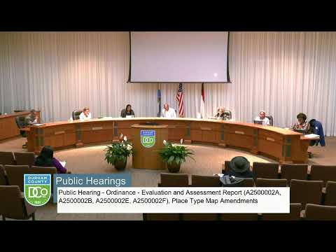
After a staff presentation and discussion about urban‑growth boundary limits, the board voted unanimously to approve four place‑type map amendments — including restoring roughly 66 developable acres in Trayburn Corporate Park to the urban growth boundary — with four separate votes recorded.
Aaron Cain of the Durham Planning & Development Department presented an Evaluation and Assessment Report (EAR) and four proposed place‑type map amendments and asked the board to hear them as one public hearing with four separate votes. Cain explained the EAR is mandated by the Unified Development Ordinance and the county comprehensive plan adopted in 2023 and noted the planning commission recommended denial (5–4) for the Trayburn request but recommended approval for the other three items.
The four amendments Cain described were: - Trayburn Corporate Park: add property back into the urban growth boundary (UGB) and change about 66 acres from Rural and Agricultural Reserve to Employment Campus so the county can market an additional site for economic development; much of the larger area remains under conservation easement. - Roxborough & Orange Factory Roads: change a suburban‑commercial designation to Community Institution for a county demonstration farm recently purchased by the county. - Redwood Convenience Center (Redwood & Electra Roads): change Rural and Agricultural Reserve to Community Institution to reflect an expanded government facility footprint. - Baptist Road parcel: change from Utility and Public Works to Rural and Agricultural Reserve because the existing utility use is a single cell tower and the land lies outside the UGB.
Commissioners asked whether the submittal matched what went to the planning commission (Cain said it did), how much of the added Trayburn acreage would be developable (Cain said about 66 acres, with significant portions protected by conservation easements), and whether the county has historically been open to private‑sector UGB expansions (Cain summarized prior denials and said staff will follow board direction on future requests). Commissioner Jacobs emphasized that Trayburn was historically part of the industrial park, noted county investments (including $30,000,000 in the Snow Hill pump station) and said the 66‑acre restoration responds to an economic‑development request.
Outcomes: After closing the public hearing, the board read four motions and voted on each separately. All four motions passed unanimously by voice vote, adopting the place‑type map changes as presented.
What this means: The Trayburn change restores a limited developable area within the UGB to allow future utility service and economic‑development marketing; the other amendments update official place‑type designations to reflect county ownership or changed parcel configurations.
Sources and attribution: Presentation and direct quotations are attributed to Aaron Cain, Durham Planning & Development; voting outcomes were recorded in the public meeting.