Get Full Government Meeting Transcripts, Videos, & Alerts Forever!
Get email alerts on the Weather Forecasting topic
No spam. Unsubscribe anytime.
National Weather Service adds intensity hatching, three-level scale to severe-weather outlooks
Summary
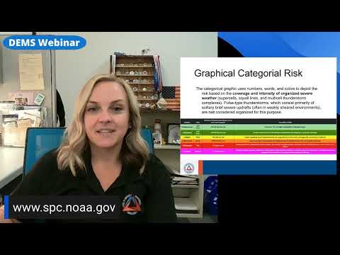
A Storm Prediction Center video shown during a Fairfax County webinar explained 2026 changes to severe-weather outlooks: new black-hatching intensity cues and three intensity levels (level one–three) that separate probability from expected storm power, removing the old 10% coverage rule for hatching.
A video from the National Weather Service's Storm Prediction Center played during a Fairfax County Ready Fairfax webinar explained changes to the SPC's severe-weather outlooks that take effect in 2026.
"Here at the Storm Prediction Center, we've made some changes to our severe weather outlooks in 2026," a Storm Prediction Center representative said in the video, explaining that the familiar risk categories (marginal, slight, enhanced, moderate and high) remain unchanged but that black hatching now communicates expected intensity levels without requiring the past 10% coverage threshold.
The video introduced three new intensity levels for hatched areas: level one for possible significant severe weather, level two for a dangerous environment such as intense tornadoes or extremely large hail, and level three reserved for rare, outbreak-level intensity such as violent tornadoes. The SPC said the change separates the chance of seeing a storm from the expected power of that storm, allowing forecasters to show intensity even when coverage is below the prior 10% threshold.
The presenter at the Ready Fairfax webinar told viewers the change will help the county tailor preparedness messaging and better communicate when a storm's intensity is of particular concern.