Get Full Government Meeting Transcripts, Videos, & Alerts Forever!
Get email alerts on the Transportation Policy topic
No spam. Unsubscribe anytime.
Council adopts Class D roads map to clarify public access and enforcement
Summary
Tooele County adopted Resolution 2026‑03 to create an official county map of Class D roads required under state code, aiming to provide clarity for recreation, sheriff response and future annual updates.
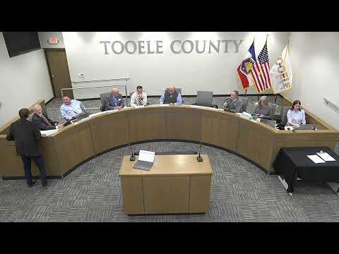
Tooele County Council voted unanimously on Feb. 17 to adopt Resolution 2026‑03, which establishes a county map of Class D roads as required by state statute. Nathan told the council the county failed to adopt the map when the statute was passed roughly two decades ago and that adopting it now will give visitors and law enforcement clearer guidance on where Class D roads (often two‑track and remote) are located.
Staff explained the state retains an ownership interest in many Class D roads and that counties cannot vacate those roads without state permission; the county will review recorder records annually for any vacated roads and revise the map as needed. Council members said the map will help integrate some trails into the county's system and assist the sheriff's office with patrol and response decisions.
Councilman Thomas moved to adopt the resolution; Councilman Hoffman seconded and the measure passed unanimously.