Get Full Government Meeting Transcripts, Videos, & Alerts Forever!
Get email alerts on the Public Engagement topic
No spam. Unsubscribe anytime.
Residents turn out for Wythe County land‑use forums; commissioners hear questions about zoning maps and major uses
Summary
Commissioners said roughly 250 people attended recent public forums for a countywide land‑use classification update; recurring public concerns included parcel depiction on the draft map and requests for special‑use mechanisms for large developments such as data centers and solar farms.
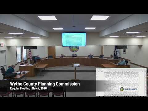
The Wythe County Planning Commission reported strong public turnout for land‑use classification forums, with staff and commissioners saying roughly 250 people attended sessions across the county.
Commissioners told the May 4 meeting that about 200–220 people attended the Fort Chiswell session and around 26 attended a Rural Retreat meeting. Officials said many attendees asked how their properties are shown on the draft map and requested corrections to parcel classifications.
Speakers said recurring topics included landowner concern about how parcels are depicted, requests to reclassify a small number of parcels, and community interest in having stronger procedures when major projects — data centers, large solar farms or other large‑scale developments — are proposed. Commission comments reflected that the Board of Supervisors has indicated a preference for handling many large uses through special‑use permits or special exceptions rather than listing them generically on the zoning map.
Staff encouraged residents to submit suggestions through the county website so staff can catalog and respond to requests, and noted the commission will continue the public forum schedule; the next meeting listed was May 11 at George Wythe High School at 6 p.m.
Commissioners also said they have received a modest number of parcel change requests so far—roughly a dozen from the outreach and website—ranging from individual property owners to larger landholders; staff told the commission map corrections must be handled through formal return to the commission before official map changes are recorded.
The commission’s public forums are part of a multi‑step process to finalize the county’s land‑use classification, with additional sessions planned and staff collecting public input to inform final recommendations to the Board of Supervisors.