Get Full Government Meeting Transcripts, Videos, & Alerts Forever!
Get email alerts on the Hydrology Modeling topic
No spam. Unsubscribe anytime.
Lake County hears near‑complete hydrologic model to study Clear Lake hitch spawning flows
Summary
Consultants told the Lake County Watershed Protection District they have nearly finished a 2015–2025 hydrologic model to evaluate how surface and groundwater use affect Clear Lake hitch spawning habitat in Big Valley; monitoring is wrapping up, tribal data will be incorporated, and no policy action was taken at the meeting.
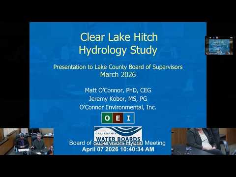
A consultant presentation to the Lake County Watershed Protection District on the Clear Lake hitch hydrology study outlined a near‑complete, data‑driven model intended to inform water‑management strategies for the hitch’s spring spawning season in Big Valley.
Matt, the lead consultant on the project, said the team is wrapping up monitoring and data collection and moving into calibration and scenario analysis. “We’re going to be modeling the years 2015 through 2025,” he said, noting the simulation period covers a range of dry and wet years the model can use to assess how different kinds of water use affect stream flow and habitat.
The model, implemented with a code the team referred to as MikeShei, is described as fully distributed and physically based: it represents the landscape in roughly 1.66‑acre grid cells, uses daily time steps (hourly for streamflow), and integrates precipitation, evapotranspiration, soils, topography, groundwater, irrigation, diversions and other human uses to predict locations and quantities of surface flow under different scenarios.
Why it matters: the Clear Lake hitch (a spawning fish of local concern) depends on sufficient instream flow during spring. The model is intended as a decision‑support tool to prioritize stream reaches for restoration and to test whether reductions in water use or other measures could reliably improve spawning flows in different climate conditions.
Data, partners and coordination: consultants said the dataset combines USGS and state gauges, county groundwater monitoring records, pump tests (including those generated through a county cannabis permitting program), LIDAR and aerial electromagnetic (AEM) surveys, and streamflow gauges placed with cooperating growers. Val Zimmer was present representing the water board, and the team said it is coordinating with the California Department of Fish and Wildlife and the Big Valley Tribe.
Public input and tribal monitoring: Big Valley Band of Pomo Indians’ environmental director Sarah Ryan told the board her team has long‑running monitoring in multiple creeks (pressure transducers, flow monitoring and well elevation records) and has documented fish‑rescue incidents. “For the last three years our fisheries team has rescued more than 25,000 hitch in the Big Valley creeks alone,” Ryan said, and offered to share the tribe’s monitoring data with the consultant team.
On using permit data: a public commenter asked whether well readings reported under discretionary permits were being used. The consultant said pump tests from the county’s cannabis permitting program have been incorporated and that he would follow up on whether annual monitoring reports tied to discretionary permits were included in the dataset.
Climate question: when asked how climate change fits into the model, the consultant said this implementation does not include explicit climate‑change projections but that the 2015–2025 period includes extreme wet and dry years and that the model framework can be run with climate scenarios in a separate analysis.
Next steps and schedule: presenters said monitoring and data import are nearly complete, model calibration is imminent and scenario analysis will occur later this summer and fall; a fuller presentation of findings is expected in about a year. The meeting record shows this was a presentation‑only item and the board took no formal action.
What was not decided: the consultants and board emphasized they are not yet recommending concrete regulatory actions; whether and what management measures the State Water Resources Control Board or local authorities will pursue will depend on the modeling outcomes and subsequent analysis.
Reporting note: the presentation repeatedly referenced the study domain as the Big Valley groundwater basin and contributing creeks (including Adobe and Kelsey creeks). Members of the public and tribal staff raised data and cumulative‑effects questions that the consultant said will be addressed during scenario analysis and follow up.