Get Full Government Meeting Transcripts, Videos, & Alerts Forever!
Get email alerts on the Water Supply topic
No spam. Unsubscribe anytime.
NRCS snow survey: Utah saw record‑low April snowpack and widespread low runoff forecasts, hydrologist says
Summary
Jordan Clayton of the Utah Snow Survey told the Utah Water Board that an unusually early melt produced the fastest statewide SWE decline since SNOTEL records began, leaving April 1 snow water equivalent at historically low levels and driving May 1 runoff forecasts far below normal across most basins.
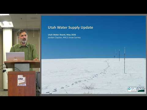
Jordan Clayton, a hydrologist with the Utah Snow Survey at the U.S. Department of Agriculture’s Natural Resources Conservation Service, told the Utah Water Board that Utah’s snowpack peaked unusually early this year and then declined faster than at any time since SNOTEL monitoring began.
Clayton said statewide snow‑water‑equivalent peaked in early March at about 8.4 inches and fell to roughly 2.7 inches by April 1. “We peaked right in early March … at 8.4 inches,” he said, and described the subsequent March melt as “the most rapid decrease in our SWE … that we’ve observed since the SNOTEL era began in the 1980s.” He told the board analyses of 15 long‑record sites show 2026’s April 1 SWE is the lowest on record for Utah.
Those early losses and timing distort some common water‑year summaries, Clayton said: October precipitation boosted water‑year totals, making statewide maps that show roughly 88–90% of normal misleading unless October is excluded. Excluding October (starting Nov. 1) produces a picture with many basins below normal, especially at lower elevations.
Clayton presented May 1 April–July streamflow forecasts showing many forecast points with far‑below‑normal runoff. He said the forecasts show multiple sites under 50% of normal and several with a strong chance of record‑low flows. “Across the state, we’re really not seeing any locations with close to normal flow,” he said, noting some basins — including much of the state outside the Bear, Ogden, Provo, Price and Virgin basins — are projected near or below the 10th percentile for surface‑water supply.
Using snow‑to‑flow plots for individual forecast points (Clayton cited the Duchesne River near Tabiona as an example), he showed that streamflow responses have been “muted”: despite measurable snowpack earlier in the season streamflows are unusually low compared with historical ranges for similar SWE values.
The hydrologist also described implications beyond the immediate runoff season. Soil‑moisture time series look like a normal melt curve shifted earlier, he said, creating a longer period of dry mountain soils that could elevate summer fire risk. He warned that reduced percolation into groundwater this year could draw down subsurface stores that normally support later runoff, possibly depressing next year’s streamflow if summer monsoon rains are weak.
Clayton gave basin‑level specifics: the 70th‑percentile inflow projection for Great Salt Lake is about 175,000 acre‑feet, roughly 25% of normal, and he said the lake appears to have already peaked and may be starting to drop. For Lake Powell, the May 1 50th‑percentile forecast was slightly under 1,000,000 acre‑feet — a very low annual inflow compared with long‑term averages.
When a questioner asked about the effect on groundwater, Clayton said statewide groundwater monitoring is limited. “We don’t have … anywhere near the amount of monitoring that we have for surface water,” he said, adding that it is hard to give a precise statewide answer but that reduced recharge will likely deplete groundwater and could affect future runoff.
The briefing closed after board members thanked Clayton for the update and asked follow‑up questions about monitoring and implications for reservoir operations.
The board did not take any formal votes in this briefing; Clayton said the forecasts and indices he presented were based on May 1 outlooks and interactive forecast tools the Snow Survey maintains on its website.