Get Full Government Meeting Transcripts, Videos, & Alerts Forever!
Get email alerts on the Land Use Hillside topic
No spam. Unsubscribe anytime.
Planning commission reintroduces hillside ordinance updates; public asks for clearer hillside map and objective definitions
Summary
The Planning Commission held a public hearing on updated hillside regulations that would codify a GIS‑based hillside overlay, clarify developed vs. undeveloped thresholds and add retaining‑wall guidance; public commenters praised staff but urged more precise definitions (e.g., 'disturbed' vs 'undisturbed'), mapping clarity and numeric precision for slope thresholds.
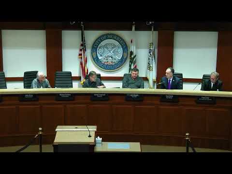
The Murrieta City Planning Commission reopened and reintroduced proposed updates to the city’s hillside development standards, hearing a staff presentation and public testimony before closing the hearing. Senior Planner Chris Tracy presented the draft changes and said staff’s objective is to replace inconsistent, subjective application with a formal GIS‑based hillside overlay, clearer developed/undeveloped criteria, and retaining‑wall design options tailored to hillside areas.
Tracy told the commission that the update replaces an average‑slope calculation with a GIS analysis (applicants may instead submit a CAD‑based analysis) and establishes a ministerial fine‑grading review for disturbances under the 50‑cubic‑yard threshold. He described a new retaining‑wall table: walls up to 6 ft remain permitted under existing standards, while walls over 6 ft in hillside areas would follow a scripted waiver/modification process to be reviewed by the director and would require findings that avoid public‑safety issues.
Why it matters: the changes would codify where hillside rules apply and how they are reviewed, affecting property owners, designers and reviewers on sloped parcels. Chris Tracy said the changes are intended to improve predictability, reduce inconsistent past decisions and streamline review for smaller disturbances.
Public commenters expressed appreciation for staff’s work but asked for greater specificity. Multiple speakers asked that the ordinance avoid subjective wording (one speaker pointed to repeated uses of the verb "encourage") and requested that the hillside overlay be made plainly visible to people doing due diligence — for example by adopting the overlay into official plan exhibits or otherwise ensuring the map is easy to reference. Several residents said older parcels were previously disturbed under county oversight (before city incorporation), have existing homes, wells and access roads, and therefore should be treated as developed; they asked for a clear exemption path when historical permits or aerial evidence proves prior lawful disturbance.
Commissioners asked practical questions: how the map will be updated as new specific plans are adopted, how retaining‑wall materials and living screens will be governed, and whether maintenance obligations will be enforceable (staff noted that conditions of approval, bonds and long‑term development plan requirements are the usual enforcement tools). The commission and staff agreed to clarify several definitions and numeric details — including how the 25% slope threshold is computed and whether rounding rules should be specified — before forwarding a final recommendation to Council.
Next steps: the public hearing was closed at 8:09 p.m. Staff recommended the commission find the project consistent with the California Environmental Quality Act (citing the applicable PRC/CEQA sections in the staff report), receive comments, and recommend that City Council introduce the ordinance with the updated hillside overlay map codified in the development code. Commissioners asked staff to refine language that distinguishes 'developed' vs 'undeveloped' parcels, add clearer appeal paths for disputed determinations, and clarify numeric rounding rules for slope thresholds prior to council review.