Get Full Government Meeting Transcripts, Videos, & Alerts Forever!
Get email alerts on the Land Use topic
No spam. Unsubscribe anytime.
Planning commission recommends council certify Northeast Area EIR and adopt the specific plan after lengthy debate on density, parking and environmental impacts
Summary
After a multi‑hour staff presentation and public comment from developers, residents and consultants, the Planning & Transportation Commission voted unanimously to recommend that the City Council certify the Northeast Area Specific Plan EIR and introduce the plan, associated general plan amendments and zoning changes; the draft EIR identified two significant and unavoidable programmatic impacts (air quality and greenhouse gases).
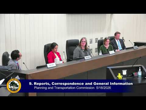
The San Carlos Planning and Transportation Commission voted unanimously on May 18 to recommend that the City Council certify the Environmental Impact Report and advance the Northeast Area Specific Plan, related general plan amendments and zoning ordinance changes to the council for final action.
Rendell Bustos, senior planner, told the commission the plan covers roughly 145 acres on the city’s east side and would guide redevelopment over the next 20 years. Staff’s build‑out projections in the draft EIR anticipate about 4.5 million square feet of additional commercial floor area and roughly 1,890 new housing units, introduced through two new mixed‑use zones (MUNE‑75 and MUNE‑90) with maximum residential densities of 75 and 90 units per acre. The plan also proposes stepped building heights with a step‑down to about 35 feet adjacent to the Greater East San Carlos neighborhood and a bonus program allowing commercial parcels to reach up to 155 feet in exchange for community benefits.
The draft EIR is programmatic: staff identified two significant and unavoidable impacts—air quality and greenhouse gas emissions—related to the large amount of growth the plan anticipates. Bustos said staff included alternatives in the EIR and a statement of overriding considerations explaining why the plan’s economic, social and environmental benefits outweigh those specific, significant impacts.
Key plan features include a public‑access open‑space requirement (10%–15% depending on lot area), a proposed multiuse path along Belmont Creek with a required 35‑foot creek setback (increased from 25 feet), a proposed future street to improve circulation, a Transportation Demand Management program, and parking maximums (soft and firm tiers) that the plan would apply to new development. Staff said the open‑space requirement and design standards aim to promote ground‑floor activation, walkability and environmental resilience.
Developers and property owners who spoke during the public comment period urged higher height and density limits to keep projects financially feasible. "If development doesn't pencil, it's just it's not gonna happen," said Sean Williams of GW Williams Company, arguing the draft standards will not produce viable mixed‑use housing under current construction costs and market conditions. Tom Sprinkle, an architect who spoke for a developer, said economies of scale and added height could enable a public park and lower per‑unit costs.
Staff responded that the plan is intended as a framework to be implemented incrementally through redevelopment and that state tools—such as the state density bonus—could enable higher densities for projects that provide affordable housing. Commissioners repeatedly urged monitoring feasibility and recommended periodic review of the plan as projects come forward.
The commission approved four separate motions—certifying the EIR, recommending the general plan amendments, recommending the city council introduce an ordinance adopting the specific plan, and recommending ordinance changes to implement the zoning reclassifications—each passing on a 5‑0 roll call with Commissioners Anand, Bundy, Kenesty, Tapias and Chair Clements voting yes. Staff said the City Council is tentatively scheduled to hold a public hearing on the plan on June 8.
Commissioners and staff emphasized interjurisdictional coordination (Belmont, county agencies and regional transit bodies) for stormwater, transportation and shoreline planning, and acknowledged developer concerns about feasibility and the need to balance market realities with the plan’s goals.