Get Full Government Meeting Transcripts, Videos, & Alerts Forever!
Get email alerts on the Land Use Rezoning topic
No spam. Unsubscribe anytime.
Lane County enacts ordinance PA 1394, rezoning ~47.94 acres for sand-and-gravel use (Wildish); unanimous vote
Summary
After a quasi‑judicial hearing, the Lane County Board of Commissioners enacted ordinance PA 1394 to amend the rural comprehensive plan and rezone about 47.94 acres for sand‑and‑gravel use for the Thurston Pit (Wildish Land Co.), finding a mapping discrepancy and voting 5–0 to adopt staff findings and the ordinance.
The Lane County Board of Commissioners on May 19 enacted ordinance PA 1394, approving a staff‑recommended conformity determination that amends the rural comprehensive plan designation and rezones approximately 47.94 acres for sand‑and‑gravel and rock products for the Wildish Land Co. operation known as the Thurston Pit.
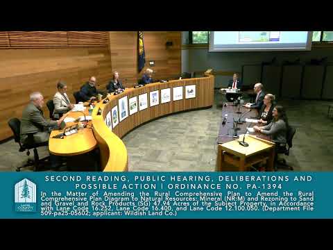
The hearing: Chair Seneca opened the 10:00 a.m. quasi‑judicial hearing, read the ordinance title and applicable procedural rules and cited relevant criteria from the county code and Oregon Revised Statutes (ORS 197.7975 and ORS 197.7963). Planning staff (Nori Spalding) presented background and framed the application as a "conformity determination" to correct a historical mapping mismatch between earlier metropolitan plan diagrams and subsequent county zoning maps.
Staff and applicant arguments: Spalding traced how plan mapping evolved from an analog "blob" diagram to a tax‑lot database and said she found no record explaining why portions of the property were redesignated to agriculture in later printings. She said the record shows the site was zoned for sand and gravel in the late 1970s and that the requested action is intended to align county designation with earlier plan text and historical permits.
Applicant counsel Bill Close told the board the request "is just a time for correcting errors," summarizing his view that map‑scale changes during a 2013 jurisdictional transfer left about 25% of Wildish's original planned area off the county's mining designation and that the ordinance corrects that discrepancy.
Kelly Wood, representing Wildish, presented soils and mapping evidence, citing the web soil survey and Lane County soil ratings. She told commissioners the site is mapped to units identified as fluvents and pits and that, in Lane County's 2011 agricultural ratings, the area had an agricultural capability class of 7; she summarized: "there is actually no soil even to strip for reclamation because it was literally a gravel bar back in its original excavation." (Transcript contains inconsistent spelling of the applicant name as both "Wildish" and "Wilder"; the board read the applicant as "Wildish Land Co." in the ordinance title, and this article uses the spelling shown on the ordinance.)
Staff recommendation and board action: Staff stated the Planning Commission had heard the matter (initial hearing 10/21/2025, record left open until 11/11/2025, deliberations 12/02/2025) and recommended adoption. The vice chair moved to close the evidentiary record; the motion carried 5–0 and the applicant waived final written argument. The board then opened deliberations and the vice chair moved to approve ordinance PA 1394 based on the proposed findings.
Roll call and outcome: The board conducted a roll‑call vote and enacted the ordinance with ayes from Commissioner Lovell, Commissioner Treager, Commissioner Buck, Commissioner Farr and Chair Seneca; the motion carried unanimously (5–0). Staff noted the local decision is appealable to the Land Use Board of Appeals (LUBA).
What's next: Findings will be finalized as needed following the board's direction and the ordinance will be recorded per county procedures. The board did not direct additional conditions in the hearing.