Get Full Government Meeting Transcripts, Videos, & Alerts Forever!
Get email alerts on the Land Use topic
No spam. Unsubscribe anytime.
Planning commission approves lot-line adjustment and 40-foot right-of-way dedication on 32nd Street North
Summary
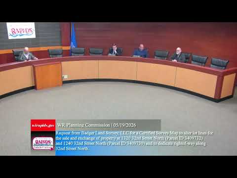
The Wisconsin Rapids Planning Commission voted 5-0 to approve a certified survey map from Badgerland Survey LLC to adjust lot lines at 1320 and 1240 32nd Street North and to dedicate 40 feet of right-of-way along 32nd Street North; staff had recommended approval and said the proposal met zoning requirements.
The Wisconsin Rapids Planning Commission voted unanimously to approve a certified survey map that adjusts lot lines at 1320 and 1240 32nd Street North and dedicates 40 feet of right-of-way along 32nd Street North.
Director of Community Development Kyle Kearns described the request to the commission, saying, "Essentially, we have a request to, perform, lot adjustments and sell a portion of land to an adjacent landowner." Kearns told commissioners the certified survey map includes a street dedication and that "they have noted the dedication of 40 feet of 32nd Street North." He said staff recommended approval and that "everything else meets the city zoning requirements."
Commissioner Eric Daven moved to approve the certified survey map "as presented." Alderperson Todd Furkey seconded the motion. With no further discussion, the chair called the vote; commissioners responded "aye," and the chair declared the motion carried, 5 to 0.
The action permits the lot-line changes and establishes the 40-foot right-of-way dedication along 32nd Street North as recorded on the certified survey map. No conditions, amendments, or additional requirements were recorded in the meeting minutes. The commission adjourned the special meeting at 5:40 p.m.
Minutes and the approved certified survey map will serve as the formal record of the street dedication and property boundary changes.