Get Full Government Meeting Transcripts, Videos, & Alerts Forever!
Get email alerts on the Land Use topic
No spam. Unsubscribe anytime.
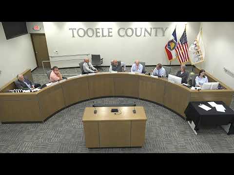
Tooele County Council tables rezone of Rush Lake-area parcels after questions on wells, power and flood risk
Summary
A proposal to rezone 23 parcels from MU-40 to A-5 (Rush Lake area) was presented with a favorable planning-commission recommendation but tabled by the council so staff can answer concerns about wells, septic, power capacity and floodplain modeling.
Planning staff Millie Pioquinto presented a rezone application that seeks to change 23 parcels (previously amended from open space to agricultural) along SR-36 (Rush Lake area) from MU-40 to A-5 to make parcels buildable after correcting meets-and-bounds subdivision problems. She said the planning commission voted unanimously to recommend the rezone to the council.
"The proposed rezone is consistent with Tooele County general plan update 2022," Pioquinto said, summarizing the application and noting the site contains wetlands and legal complications tied to previous parcelization. She described the parcels as currently unbuildable without a subdivision correction.
Several council members raised technical and long-range concerns, including potable water availability, septic capacity, power service, and whether a recognized floodplain could make new construction risky under extreme precipitation scenarios. Councilman Wardle said the traffic study estimated up to 285 potential lots and asked how the county could provide wells, septic and power for that scale of development and whether modeling exists for significant flood events that occurred historically in the area.
Councilman Thomas moved to table the rezone and asked staff to return with additional analysis—minimum acreage needed for legal lots, infrastructure (wells, septic, power) capacity and floodplain modeling—so the council can consider long-term impacts. The motion was seconded and adopted by voice vote.