Get Full Government Meeting Transcripts, Videos, & Alerts Forever!
Get email alerts on the Wetlands Delineation topic
No spam. Unsubscribe anytime.
Conservation commission asks for professional delineation, soil logs before approving Boulder Road RDA
Summary
The commission reopened an RDA for a Boulder Road parcel, reviewed revised field flagging presented by consultant Julian Vitruva, and directed the applicant to provide soil logs and a wetland specialist’s delineation; the item was continued to the commission’s next meeting.
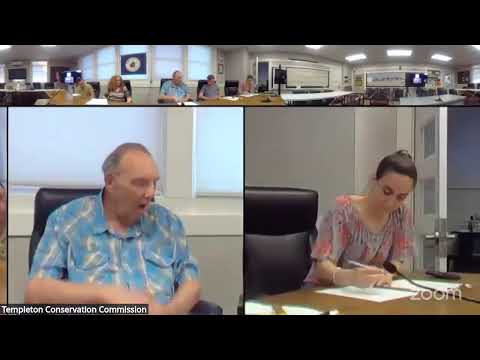
The Templeton Conservation Commission reopened a request for determination of applicability (RDA) for a project on Boulder Road on May 18 and heard a detailed field-report from consultant Julian Vitruva of New England Environmental Design.
Vitruva said he revised the plans after the commission’s site walk; commissioners noted that flagging placed during the visit differed from the applicant’s original delineation. Several members said they were not wetland scientists and urged that a certified wetland specialist perform soil sampling and a hydrology review to confirm whether soils meet hydric criteria. One commissioner said a hydrology study and soil samples would be especially important because the field was noticeably wet after recent rain.
Vitruva agreed to provide soil logs and updated plans to the commission in PDF form prior to the next meeting. He and commissioners discussed whether an ANRAD (formal delineation) should be filed; Vitruva said the applicant had avoided the $2,000 ANRAD fee but would provide professional soil logs for the commission’s review. Commissioners moved to continue the item to the next Conservation Commission meeting to allow time to review those materials.
Why it matters: The commission paused the RDA to ensure field conditions and delineation are documented by a wetland professional; the approach avoids making a jurisdictional finding based solely on a site walk and protects the commission from under- or over-including resource area boundaries.
Next steps: The applicant will submit soil logs and revised delineation maps; staff asked for submissions in advance of the meeting so commissioners can review materials prior to deliberation.