Get Full Government Meeting Transcripts, Videos, & Alerts Forever!
Get email alerts on the Wetland Enforcement topic
No spam. Unsubscribe anytime.
Commission orders revegetation plan and markers after staff flags possible wetland disturbance at 530 Glendale
Summary
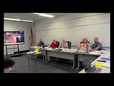
Following a field report that showed soil manipulation and disturbed vegetation near a perennial stream, the commission voted to request a revegetation plan, require permanent markers and signage, and ask the town attorney to verify where agricultural exemptions apply on the 530 Glendale parcel.
Staff member Steve (identified in meeting discussion) reported that a site inspection and flagging at 530 Glendale found recent clearing, grading and manipulated fill — including rubble and flattened areas immediately behind homes — and loss of topsoil in the first 50–80 feet. "There's definitely been grading... you can tell the ground is, like, cut in 1 spot... there's that first, I don't know, 50 feet or so behind the house... that has no vegetation at all," Steve said, summarizing his field notes and the sketch map he provided to the commission.
Members discussed enforcement options. Commissioners agreed to request a revegetation plan to restore the area toward a natural forest condition, with staff offering to scope a restoration plan and provide cost estimates for the landowner to pursue reimbursement from third parties if appropriate. One commissioner noted fines are available under the commission’s authority: "If he's not gonna pay for it or implement it, then you have power to fine, $300 a day," a staff member said during debate.
The commission also voted to require the property owner to reinstall permanent markers and post signage delineating property and resource-area lines; staff and commissioners discussed markers for both property lines and wetland/resource limits. The owner had said he would bear the financial burden for signage and markers, and staff confirmed a flagged mapping effort had already been done.
A complicating factor is a claimed agricultural classification on the parcel. Commissioners discussed that assessor classification alone does not automatically exempt all areas from wetland regulation: the agricultural exemption applies only where agriculture is actually occurring and must be demonstrated. The commission agreed to ask the town attorney to seek proof from the owner (or the assessor) showing which portions of the parcel are genuinely in agricultural use and whether those areas are exempt from buffer or wetland protections.
The commission also discussed the legal thresholds for a warrant to inspect the property after the owner denied access and the role of date‑stamped aerial photography in establishing probable cause. Staff cautioned that some potential violations may be beyond the statute of limitations for enforcement if they occurred more than two years ago; commissioners instructed staff to gather more seasonally comparable aerial imagery and documentation before pursuing a warrant.
Next steps: staff will scope a revegetation estimate for the landowner, follow up on marker/signage installation, and request from the town attorney confirmation of where agricultural exemptions may apply on 530 Glendale. The commission will continue to collect dated aerial photos and other evidence before deciding whether to seek a warrant for inspection.