Get Full Government Meeting Transcripts, Videos, & Alerts Forever!
Get email alerts on the Planning Votes topic
No spam. Unsubscribe anytime.
Votes at a glance: Farragut planners unanimously approve Red Mill Dam trailhead, two plat revisions and a zoning recommendation
Summary
The Planning Commission unanimously approved design plans for a Red Mill Dam parking lot and trailhead, a Stone Mead final‑plat revision, Bridgemore concept and variance approvals, a Bridgemoor preliminary plat with nine conditions, and recommended a new RLE zoning district to the board; all motions passed unanimously.
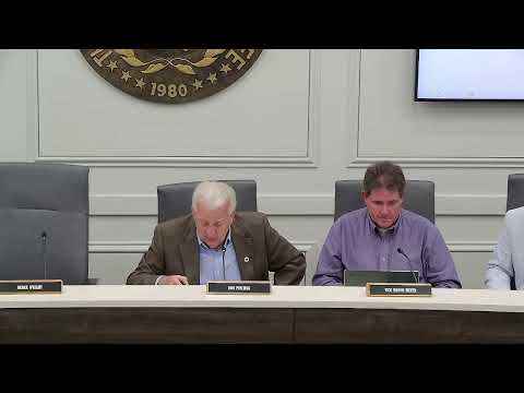
The Farragut Municipal Planning Commission on May 21 approved multiple agenda items in a unanimous series of votes that advance local park access, subdivision work and a zoning change.
Design plans for a Red Mill Dam parking lot, paved access trail and trailhead — a project that includes a 10‑stall parking lot, paved pathway and benches — were presented by Lincoln Fugel of LDA Engineering and approved. Fugel described minimal grade changes and ADA‑compliant slopes: "I think that the steepest grade out there is, like, 6 and a half percent," he said, and noted that most of the trail will be asphalt except for a small gravel square at the drive end.
The commission also approved a final‑plat revision for the Stone Mead subdivision that increases some lot sizes, reduces two house lots and reduces about 11,000 square feet of open space but still meets the R‑3 district's minimum 10% open‑space requirement. Staff confirmed the homeowners association will maintain a common area and an 11‑foot wall easement per covenants and declarations.
Earlier agenda items related to the Bridgemore/Bridgemoor project included a concept‑plan amendment (reducing total lots from 374 to 346 and adding roughly five acres of open space), a variance to cul‑de‑sac length for Road G, and approval of a preliminary plat for phases 3B and 4 subject to nine conditions addressing sinkhole compliance, erosion control, building envelopes and a requirement to ensure the Phase‑5 public‑street connection (either by constructing it or posting a town‑approved letter of credit with a timeline). Carter McCall, representing the owner, said the owner prefers the letter‑of‑credit route given project sequencing.
Commissioners also recommended to the Board of Mayor and Aldermen an ordinance (PC‑26‑06) to replace the rural single‑family acreage district (R1SA) with a Rural Large Lot Estate (RLE) district intended to promote large lots and preserve natural open space. During public comment Diane Hall urged clearer definitions of "rural character," warning that a vague phrase could allow low‑density subdivisions that still remove tree canopy and the natural feel residents seek.
All recorded motions during the regular meeting passed by voice vote with no opposition among the five members present.
The Planning Commission will forward the RLE recommendation to the board for ordinance readings and next steps; the Bridgemore approvals include follow‑up actions by town engineering and the town attorney to finalize letter‑of‑credit language and cost estimates.