Get Full Government Meeting Transcripts, Videos, & Alerts Forever!
Get email alerts on the Digital Tools topic
No spam. Unsubscribe anytime.
Walton County previews GIS upgrades and SwiftGV tools to guide permit applicants
Summary
Staff demonstrated Walton County's public GIS viewer and described planned tools from SwiftGV — including an AI‑backed guidance bot and top‑comment lists — to help applicants find required forms and avoid common review errors.
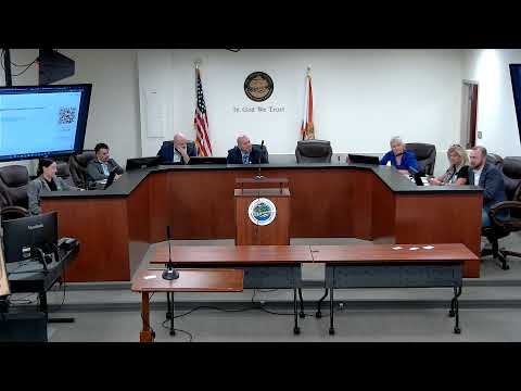
Walton County staff and consultant SwiftGV used a public outreach session to demonstrate the county's GIS viewer and outline planned digital supports for permit applicants.
The GIS demo showed searchable address lookup, multiple base maps, and overlay layers for flood zones, beach‑mouse tiers, soils, maintained‑roads and planning overlays. Staff explained how layer attribute popups show parcel data and maintenance responsibility; they said the GIS team can add the county's maintained‑roads layer to the public viewer so users can identify the agency responsible for a roadway and contact public works for right‑of‑way details.
Consultant Sabrina Dugan and Planning Director Steven Shoen described SwiftGV products the county will use to surface common review comments. The county plans to publish a list of SwiftGV's top automated flags (for single‑family submittals: missing drainage/grading, missing or undersized parking, ISR math errors, missing finished‑floor elevation, un‑dimensioned setbacks) so applicants can fix issues before initial submission.
Staff also discussed a planned applicant guidance tool that will be trained on county materials rather than open web search results. Shoen said: "This ... isn't a chatbot on Google; it is solely based on what we feed it and what we educate it with." That, staff said, will let applicants ask simple questions (for example, "Do I need to submit anything for a driveway?") and receive a tailored checklist of forms based on parcel attributes and overlays.
Residents suggested user links from GIS layers (for example, linking soils types to Florida Friendly Landscaping guidance). Staff called the idea a reasonable next step and said the county will pursue linking educational materials to the public viewer as resources allow.
Staff stressed that automation will not replace required professional submittals where code or engineering specificity is necessary, and that the county will try to balance CAD submission preferences against access for low‑resource applicants who rely on hand drawings.
Materials and standardized checklists for applicants will be posted on the Walton County website when ready, and staff will present SwiftGV‑flagged top comments to the BOCC as part of the code‑rewriting outreach.