Get Full Government Meeting Transcripts, Videos, & Alerts Forever!
Get email alerts on the Land Use topic
No spam. Unsubscribe anytime.
Council adopts resolution backing Stones Battle Parkway corridor plan
Summary
Murfreesboro City Council voted to adopt Resolution 26‑R‑27, endorsing a corridor plan for Stones Battle Parkway and Cherry Lane that anticipates a possible I‑24 interchange, multimodal paths and nodes of higher intensity development.
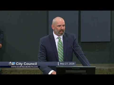
Murfreesboro — The City Council voted to adopt Resolution 26‑R‑27 on May 21, endorsing the Stones Battle Parkway corridor plan, a strategic land‑use and transportation framework intended to guide development along Stones Battle Parkway and Cherry Lane.
City planning staff introduced the corridor plan and asked council for a resolution of support. Mister Newman, who presented the proposal, said the plan is intended to establish “a strategic framework for future land use, transportation and coordinated development along the Stones Battle Parkway and Cherry Lane corridor.” Kevin Gunther, a consultant with Pate Dawson who led the presentation, described the plan as a long‑range guide that is not a zoning or site plan but provides patterning and concepts for future rezonings and development proposals.
Gunther highlighted two land‑use scenarios that were studied: one that assumes a future interchange at I‑24 and one that does not. He said the plan’s preferred map assumes an interchange and shifts roughly 100 acres in the western portion of the study area toward more intensive uses around key interchanges. The plan also recommends a 10‑foot multimodal path, streetscape elements and a parkway cross‑section that could range from four lanes with a center turn lane to a full six‑lane median section depending on location and future development.
During questions, a council member asked whether a continuous median was necessary and what the Tennessee Department of Transportation (TDOT) had said about providing an interchange. Newman and Gunther replied TDOT’s final design will depend on the contractor that builds the choice lanes project and that an interchange is likely but not guaranteed. ‘‘We felt more comfortable that there would be an interchange at this location, but it’s still not guaranteed because it is up to the company that is awarded that contract,’’ Newman said.
Gunther and staff estimated that if an interchange is secured the corridor could develop faster — possibly within 10–15 years in some areas — whereas without an interchange build‑out could extend to 20–25 years. Staff told council the plan is meant to provide predictability for developers and decisionmakers and to encourage concentrated growth at nodes while protecting hydrology, floodplain and other natural resources.
After discussion, a council member moved adoption of the resolution of support; the motion was seconded and approved by roll call. The resolution was adopted unanimously.
The council’s action was recorded as Resolution 26‑R‑27; staff said the planning commission had recommended the plan on May 6. The plan itself, staff noted, is advisory and would be used to inform future rezoning and development reviews rather than act as a zoning map.