Get Full Government Meeting Transcripts, Videos, & Alerts Forever!
Get email alerts on the Windsor Ridge South Phase 2 topic
No spam. Unsubscribe anytime.
Lancaster planning board holds scoping hearing on Windsor Ridge South Phase 2 as neighbors raise drainage and wetland concerns
Summary
At a public scoping session, residents urged clearer plans for drainage, wetland boundaries and access as the applicant described a revised plan reduced to 142 lots with quantified wetland impacts; the board closed the hearing and will forward scoping comments to the Town Board.
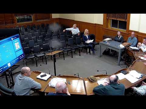
The Lancaster Planning Board opened a public scoping session for Windsor Ridge South Phase 2 and heard residents raise concerns about drainage, wetlands and community impacts.
Mary Rafalski of 210 Hall Road told the board she believes a ditch on her property "drains 100 acres" and said the developer’s map shows no connecting ditch; she asked how additional runoff would be handled and how wetland boundaries would be marked for the public. "Will there be markers of some kind to let residents know the boundaries of these areas so that they are not trespassing on private property that abuts the development?" Rafalski asked.
Sean Hopkins, attorney for Windsor Ridge Partners, gave an overview of the project and revisions to the plan. He said the subdivision has been reduced over time — from 196 lots to earlier plans of 180 lots and, as of the June 2025 submittal, to 142 lots on roughly 117 acres — and described the proposal as "market‑rate upscale housing," not subsidized affordable housing. Hopkins provided specific wetland impact figures, saying the plan now estimates about 1.54 acres of impacts to federal wetlands, 0.25 acres to DEC‑regulated wetlands and about 2.95 acres of adjacent area impacts. "Within the scoping doc, the draft scoping document, we've set forth in great detail the documentation that we're proposing," he told the board.
Ken Zouch of GPI, the project engineer, said the design team will perform stormwater analyses, size pipes, route flows through ponds and coordinate reviews with the town engineer; he also said the Army Corps of Engineers and DEC require wetland monuments to be shown on plans so the public can understand wetland limits.
Several nearby residents reiterated concerns about off‑site runoff, traffic and long‑running problems they attribute to earlier construction work. One resident said a 10‑year accumulation of fill behind her house has made her backyard "all but unusable" and that attempts to contact the developer about a fallen tree and fence damage produced no response.
The board did not take a final action on the project’s scope at the hearing; after public comment the board closed the scoping hearing and reminded residents that the planning board is a recommending body and that the Town Board will make final determinations. Board members asked the public to submit written comments for inclusion in the final scoping document; the board set Nov. 12 as the comment deadline for the draft scoping material.
What happens next: the applicant will finalize a scoping document and the planning board and affected agencies (including DEC and the U.S. Army Corps of Engineers) will review engineering, stormwater and wetland mitigation materials before later site‑plan or subdivision decisions.