Get Full Government Meeting Transcripts, Videos, & Alerts Forever!
Get email alerts on the Timnith Shores topic
No spam. Unsubscribe anytime.
Council approves Timnith Shores sketch plan after neighbor objections over access and impacts
Summary
Council approved a 76‑acre Timnith Shores sketch plan allowing zoning‑level density but noting likely lower realized unit counts; staff and the applicant described roadway realignment, trail connections and a 50‑ft reservoir buffer; adjacent property owners pressed for more mitigation on traffic, emergency access and utilities.
Council granted conceptual approval to the Timnith Shores sketch plan (Cottonwood Development Partners LLC, applicant JR Engineering) after a staff presentation and public comment. The 76‑acre site east of County Road 5 and adjacent to Timnith Reservoir is zoned in two parcels (R2 and RE) and, under maximum permitted densities, could yield up to 229 dwelling units on paper. Applicant and staff said the built outcome will almost certainly be lower once lotting, right‑of‑way, open space and technical constraints are applied.
Planning staff described key elements of the conceptual plan: extension of Wildwing Drive through the site as a collector, realignment and upgrade of County Road 3E to town standards, construction of two culverts (Lake Canal and the reservoir inlet), emergency‑access improvements and approximately 19 acres (≈25%) of open space including a proposed 50‑foot natural habitat buffer along the reservoir shore. The sketch plan also shows multiple regional‑trail connections and a 3.2‑acre park pocket.
During the public hearing adjacent landowners expressed recurring concerns about the adequacy of mitigations for traffic, emergency access and utilities. Dan Griffith said written comments remain unresolved and that criterion four (whether negative impacts on adjacent land have been satisfactorily mitigated) had not been fully satisfied. Ryan Ferdig urged council to represent neighbors’ concerns and questioned sequencing and density choices.
Applicant representative Ken Merritt emphasized that many technical items — traffic studies, utility coordination, final lot configuration, culvert design and emergency access treatments — are evaluated in detail at the preliminary‑plat stage. He said right‑of‑way for the County Road 3E realignment would come from the Timnith Shores property, that proposed landscape buffers and a 10‑ft regional shared‑use path would provide separation, and that culverts and emergency‑access structures will be built to full roadway standards.
Council discussion focused on criterion‑based review required for a sketch plan: consistency with comprehensive‑plan goals, functional land‑use layout, preliminary indication that utilities and transportation can be accommodated, and mitigation of adverse impacts. Several members said the plan met the sketch‑plan criteria as a conceptual framework but emphasized that ‘‘the devil’s in the details’’ and that the upcoming preliminary‑plat review must resolve outstanding technical issues — particularly emergency access culvert sizing and whether secondary access could be improved if needed.
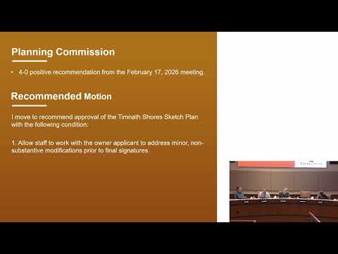
Council approved the sketch plan 4–0 with the condition that staff be authorized to work with the applicant on non‑substantive modifications prior to final signatures. Staff and the applicant will return with the preliminary plat, transportation impact study and engineered solutions for culverts, emergency access and utility coordination.