Get Full Government Meeting Transcripts, Videos, & Alerts Forever!
Get email alerts on the Land Use Development topic
No spam. Unsubscribe anytime.
Planning commission delays PCH bluff development after public outcry over views and slope risk
Summary
After hours of public comment and technical testimony, the Malibu Planning Commission continued a controversial coastal permit for a large single‑family project on Pacific Coast Highway to Feb. 17, directing the applicant to return with design changes to reduce obstruction of the highway’s panoramic ocean views and to address geotechnical concerns.
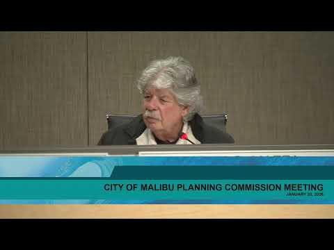
The Malibu Planning Commission on Jan. 20 continued consideration of a coastal development permit, lot merger and certificate of compliance for a proposed one‑story single‑family compound at 25,200 Pacific Coast Highway after more than five hours of testimony from neighbors, technical experts and the applicant.
Staff described the application as a consolidated request (CDP No. 19‑012; Certificate of Compliance No. 19‑009; Lot Merger No. 24‑002) for a main residence, a guest house, a gym, multiple pools and supporting site work on a 6.36‑acre linear property that runs along the ocean side of PCH. Staff corrected an error in the draft resolution, clarifying the on‑site wastewater tank is 7,540 gallons (not 1,500 gallons) and outlined conditions limiting planting heights and requiring landscape materials, colors and drainage improvements intended to reduce scenic and environmental impacts.
Public commenters—including dozens who spoke in person and by Zoom—pressed the commission to deny the project or require major reductions. Opponents said the design would permanently block a continuous ‘‘blue‑water’’ view seen by drivers cresting the hill on PCH, warned of ecological and raptor habitat impacts, and questioned long‑term slope stability and groundwater sensitivity. ‘‘This is an historic view and should remain open,’’ said resident Charlotte Jones during public comment. Several speakers highlighted the new, larger septic system and the risk that groundwater infiltration can mobilize slide planes.
An independent geologist who reviewed historic borings told the commission earlier investigations may under‑represent landslide deposits and that stability analyses should include a groundwater sensitivity and structure‑contour mapping before approval. He urged the commission to treat the slope and adjacent downslope residences as a single system that could be affected by major grading or infiltration.
The applicant’s team and its geotechnical consultants disputed that characterization. Don Schmitz, representing the applicant, said consultants performed 68 borings and 17 trenches, invested roughly half a million dollars in geotechnical work, and designed an engineered stabilization system involving 77 caissons with tiebacks that the team estimates would both stabilize the proposed building pads and benefit slope stability below. Schmitz said the project has been revised repeatedly to address staff concerns: freestanding walls and retaining walls were reduced to 6 feet, guest‑house heights were lowered, and landscaping above PCH was removed in sections to preserve the public view corridor. Schmitz also said the applicant will re‑route a legacy Caltrans pipe and make downstream improvements requested by Public Works.
Staff and the city’s geotechnical reviewer said they had conducted multiple rounds of review and found the applicant’s proposed mitigation sufficient for the factors of safety in the LIP and the city’s 2013 geotechnical guidelines, provided the stabilization measures are implemented and verified by final plan‑check. The city reviewer told commissioners that the project’s stability conclusions were reached after comparing competing interpretations and that, in the city’s view, the proposed stabilization can meet the LIP safety thresholds.
Commissioners’ deliberations focused on Local Implementation Program Section 6.5, which requires that new development be sited and designed to ‘‘minimize’’ adverse scenic impacts from scenic roads. The commission debated whether feasible alternatives exist (clustering, reduced footprint, lowering roof lines, removing the guest house or additional grading) and whether a lot merger should be approved in tandem or deferred. Several members emphasized that ‘‘minimize’’ does not require perfection but nonetheless asked the applicant to make tangible changes to the proposal.
Before the meeting recessed, the applicant offered several concessions: eliminating the detached guest house, reducing the overall footprint by about 20–25 percent, and further lowering portions of the main house by roughly 2 feet where feasible. After a final round of discussion, the commission voted to continue the item to Feb. 17, 2026 and directed the applicant to return with revised plans and comparative view simulations (packet deadline Feb. 5). The commission also asked staff to confirm story‑pole and photographic evidence and to preserve the record of geotechnical reviews.
The continuance preserves the record for additional public input and gives the commission time to evaluate revised plans that aim to reduce public view impacts while maintaining the applicant’s proposed stability measures. The commission’s action does not approve the project; it requires the applicant to return with the promised revisions and supporting technical documentation.