Get Full Government Meeting Transcripts, Videos, & Alerts Forever!
Get email alerts on the Geohazard Text Amendment topic
No spam. Unsubscribe anytime.
Planning commission recommends clarifying GeoHazards code, urges deletion of conditional‑use escape
Summary
The Morgan County Planning Commission voted to recommend a GeoHazards code text amendment that keeps a 25% slope limit but clarifies how average slope is calculated for the buildable area and asks that conditional‑use language allowing higher slopes be removed to reduce county liability.
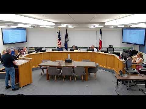
The Morgan County Planning Commission voted May 28 to recommend that the County Commission approve a GeoHazards code text amendment that preserves a 25% slope prohibition while clarifying how average slope will be calculated and applied to the buildable area of a lot.
Planning staff member Josh explained that the change keeps the 25% prohibition but adds a defined method for calculating an average slope applied only to the buildable area, not the entire parcel, and adds a definition of “applicant” and “average slope.” "This is why I think it's a minor text amendment," Josh said, arguing the edits make existing code language consistent across sections.
The changes are intended to reduce the county's exposure to liability by specifying a repeatable formula, commissioners said. A planning commission member who described himself as a long‑time consulting engineer said average‑slope language provides a consistent, checkable calculation so applicants and staff calculate the same way. He also noted that when the county first adopted GeoHazards rules it required geologists to meet experience and insurance thresholds and later moved to a geoscoping review relying on the applicant's geologist to limit county liability.
Commissioners discussed scenarios in which steep localized slopes (40% or more) could exist on a parcel but still be permissible if the average slope of ingress, driveways and the building envelope is 25% or less; staff said engineered drawings and slope‑stability analysis would still be required and that retaining walls and structural mitigation must be shown in the site plan. "If the average slope of your street, driveways, ingress, egress, and building envelopes are 25% or less, then those lots would be allowed," staff said.
Several commissioners raised concerns about a conditional‑use provision in the code that could allow slopes above 25% through a conditional‑use permit. Commissioners said that language effectively creates a "default yes" unless the planning commission can articulate a clear detrimental impact with findings of fact and argued the conditional‑use subsection should be deleted from the amendment to avoid placing the county at risk. Staff agreed the language is confusing and recommended deleting the conditional‑use sentence and the cross‑reference so the code consistently reads 25% as the upper limit.
Public commenter Tina Kelly of Mountain Green said she supported the geologic ordinance in principle but questioned comfort with a 25% average standard without clearer assurances; she urged caution about the 30% conditional‑use allowance that she first read in earlier drafts.
Member Taylor moved and the commission seconded a recommendation that the County Commission approve the GeoHazards code text amendment based on the staff memorandum dated 05/28/2026, with the additional edits staff read into the record; the motion carried. Staff said they will make the agreed changes before the County Commission hearing.
The planning commission's recommendation asks the County Commission to adopt the clarified slope definitions and to remove or better define the conditional‑use provisions that would allow slopes above 25%.