Get Full Government Meeting Transcripts, Videos, & Alerts Forever!
Get email alerts on the Data Sources topic
No spam. Unsubscribe anytime.
Data sourcing and AI use spark disagreement in Nottingham land‑use work
Summary
Committee members clashed over whether to use the town MS‑1 tax data and AI summaries or Granite GIS land‑use data for the land‑use chapter; several members warned against generative AI producing narrative text and urged strict sourcing and vetting.
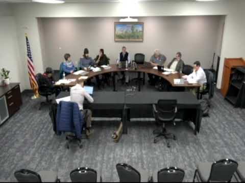
Debate over appropriate data sources and the role of artificial intelligence flared during the Nottingham Master Plan Subcommittee’s Feb. 17 meeting as the land‑use chapter moved toward completion.
Dirk Groton Heiss, chair, and others said the authoritative source for acreage and land‑use categories is the Granite GIS database and that the MS‑1 (tax‑assessor) extract is not an appropriate proxy for land‑use acreage. One participant had used an MS‑1 extract and an AI tool to summarize the long housing survey and generate suggested zoning changes; that approach prompted pushback from other members.
Kristen Lamb said she was surprised and concerned that generative AI might be used to produce narrative content for the chapter. A fellow member described the concern bluntly: "we should avoid relying upon generative AI to make this text because it often does what's called hallucinating, and it'll insert things that are completely incorrect," the member said, urging that narrative sections be written and vetted by the committee.
Supporters of using computational tools said automated summaries can help digest long survey materials and extracts but accepted that narratives need careful vetting and sourcing. Dirk and other members urged that all data used in chapter text be sourced to professional datasets and that narrative content remain the subcommittee’s product to avoid inadvertent errors.
As a result of the tension, one participant said they would step away from the land‑use committee to avoid further conflict. The subcommittee did not take a formal vote; members agreed to enforce stricter sourcing, place Granite‑derived acreage and GIS outputs at the center of land‑use analysis, and to review any AI‑generated summaries carefully before incorporation.
The chair reiterated process: the subcommittee compiles chapter drafts and recommendations for the Planning Board, and all draft narrative text will be vetted by the subcommittee prior to transmittal.