Get Full Government Meeting Transcripts, Videos, & Alerts Forever!
Get email alerts on the Future Land Use Map topic
No spam. Unsubscribe anytime.
Ulysses steering committee wrestles with future land-use map as residents urge protecting farmland
Summary
At a Feb. 25 public hearing, residents pressed the Town of Ulysses steering committee to return areas mapped as medium-density residential to agricultural or rural designations; committee members debated balancing housing demand (cited from a resident survey) with farmland and natural-resource protection and agreed to a longer work session to resolve map details.
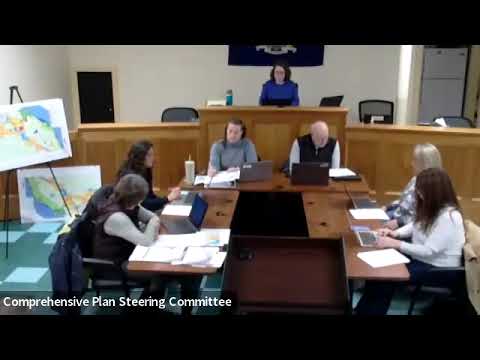
The Town of Ulysses comprehensive plan steering committee opened a public hearing Feb. 25 on a draft future land-use map and spent most of the meeting debating whether large swaths currently shown as medium‑density residential should be returned to agricultural or rural designations.
Liz Motherby, a member of the town board serving as acting chair, opened the meeting and explained public-comment rules before the committee approved the agenda and minutes. The committee then opened the public hearing where several residents urged revisions to the map, citing impacts on property values, preservation of farmland and natural resources, and protection of the historic Waterburg hamlet.
"I would like to see the whole of Cold Springs Road turned back to agriculture," said Margaret "Regina" Briski, who said she has lived at 6107 Cold Springs Road for 30 years and fears a change to medium‑density development would alter her property value and rural life. Shirley Brown said the draft represents a "radical departure" from the 2009 plan and asked why the Waterburg hamlet designation was removed. Rich Goldman urged the committee to confirm existing easements so protected land stays protected if the map changes.
Town Supervisor Kaitlin Olsson told the committee the push for more housing reflected resident feedback gathered by the project's consultant: "The motivation for having increased housing development is 100% coming from the survey that was done with the residents of Ulyses. It was mailed to every property in the town." Olsson advocated channeling new housing into locations that already have public water service to avoid extending infrastructure deep into agricultural land.
Conservation and sustainability representatives including Roxan Marino and other committee members countered that the draft map places "an inordinate" amount of land into medium‑density residential and overlooks natural features and active farmland. Committee members cited maps from Tompkins County and local land‑trust data showing agricultural focus areas, floodplain and creek corridors that, they argued, are not appropriate for higher‑density development.
A broad proposal from a committee member to change many of the medium‑density areas back to agricultural or rural designations generated extended debate. Several members said the draft is meant to be a "future land‑use" opportunity map, not zoning, and that the map aims to better reflect existing patterns — such as parcels served by public water — than the 2009 map did. The committee used a voice vote to gauge support for the sweeping revision, but the responses were mixed and no final decision was reached.
To resolve the detailed mapping questions, the consultant offered to facilitate a focused four‑hour work session (potentially on a Saturday) to work through parcel‑level proposals; the committee agreed to have staff run a poll to schedule the session and to circulate written rationales and compiled public comments ahead of the meeting.
The session produced several formal, procedural actions: the committee approved its agenda and minutes for Jan. 28 and Feb. 11 (Feb. 11 as amended to note an Indian Fort Road change), opened the public hearing on the draft plan, and later agreed to table final decisions pending the extended work session. The meeting adjourned after scheduling follow‑up steps.
What happens next: the steering committee plans to poll members for dates to hold the four‑hour work session, ask members to submit written recommendations in advance, and compile public comments so the group can more narrowly address contested parcels and technical mapping issues before the plan is referred for next steps.