Get Full Government Meeting Transcripts, Videos, & Alerts Forever!
Get email alerts on the Land Use Rezoning topic
No spam. Unsubscribe anytime.
Pinellas Park council approves rezoning for nine‑lot subdivision after neighbors warn of flooding
Summary
The Pinellas Park City Council on June 1 approved Ordinance 2026‑15 to rezone about 3.41 acres to allow a nine‑lot single‑family subdivision, despite residents’ concerns about chronic neighborhood flooding, drainage capacity and emergency access. Mayor Sandra Lee Bradberry abstained.
Pinellas Park — The City Council voted 4–0 June 1 to adopt Ordinance 2026‑15 on second and final reading, rezoning about 3.41 acres from Rural Residential (RR) to Single‑Family Residential (R3) to allow a proposed nine‑lot subdivision.
Todd Byron, the city’s senior planner, told the council the land is designated residential low and that the requested R3 zoning would allow up to 4.3 units per acre; the applicant said the final plan is capped at nine lots (roughly 2.6 units per acre). Byron also said the site is in FEMA flood zone X (low risk) and that final drainage, retention ponds and Southwest Florida Water Management District approval will be required during permitting.
Neighbors urged caution. Dino Pinto, representing more than a dozen Forest Square residents, said the area already floods in heavy rain and questioned whether local storm‑water, roadway capacity and emergency access could safely absorb roughly 20 additional homes and up to 180 more vehicle trips per day. “Our neighborhood already experiences regular flooding during heavy rain events,” Pinto said, asking whether retention ponds or drainage upgrades would be required.
Several residents, including Rick Woodcock and Jerry Jones, told the council that construction of the nearby Brian Derry Road has worsened runoff and that Cross Bayou and county drainage maintenance remain unresolved. “We need to get that canal dredged out and cleaned out to give us a chance,” Jones said.
The applicant’s representative said the team reduced earlier proposals (from 14 lots, then 10) and that the current request is for nine lots; he added the development will include two retention ponds designed for a 100‑year storm and that city staff and regional agencies will review detailed drainage plans.
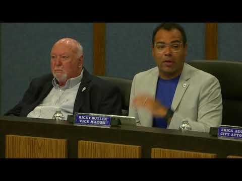
Vice Mayor Butler moved approval; the motion passed with Mayor Sandra Lee Bradberry abstaining. Council discussion after the vote acknowledged neighborhood concerns and pledged continued engagement with county partners about Cross Bayou and drainage issues, but the rezoning decision itself advanced the land‑use change.
What happens next: rezoning clears the way for a site‑plan review and permitting, where engineers must show how storm water, emergency access and other infrastructure standards will be met. The council’s vote changed the zoning map; specific construction, drainage mitigation and any roadway improvements remain subject to separate staff review and permitting.