Get Full Government Meeting Transcripts, Videos, & Alerts Forever!
Get email alerts on the Land Use topic
No spam. Unsubscribe anytime.
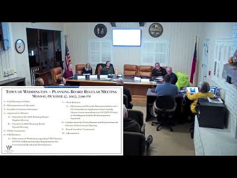
Planning board schedules Nov. 6 workshop to clarify UDO open-space and conservation rules
Summary
The planning board agreed to hold a workshop to review UDO Section D917E and broader UDO language on open space, ‘adjusted tract acreage’ and primary vs. secondary conservation lands; a two-hour session was tentatively set for Nov. 6 at 6 p.m.
The town planning board on Oct. 27 agreed to convene a dedicated workshop to clarify new and existing language in the Unified Development Ordinance, including Section D917E’s rules for conventional residential development, and to resolve confusion between “open space” and “conservation land.” The board tentatively set a two-hour session for 6 p.m. on Thursday, Nov. 6, subject to confirmation of the chairman and vice chairman’s availability.
Town planner Greg summarized the intent of D917E and related subsections, saying the new text aims to protect natural resources and to define how developers calculate buildable area. Greg described a proposed shift to using an "adjusted tract acreage" (the gross tract minus primary conservation areas) as the baseline for open-space requirements and noted proposed text edits in the board packet. "We created this new section that was codified earlier this year," Greg said, and recommended a workshop so members could review redlines without the time constraints of a regular meeting.
Board members discussed the core definitional questions the workshop will address. Several speakers urged a clear distinction between conservation land—typically undisturbed habitat, sometimes preserved through deed restrictions or by a land conservancy—and open space, which may be usable greenspace such as neighborhood fields. The board discussed examples where plats and county records label parcels inconsistently (citing Providence Forest, Lake Forest Preserve and Harlo Crossing) and agreed that authoritative designations should be verified via plats on file at the register of deeds. "The Union County doesn't always have it marked correctly," a member said, noting that the plat and deed language are the controlling records.
Members reviewed what the draft language currently lists as primary conservation lands: viewsheds, floodplains, wetlands, lakes and ponds, hydric soils and steep slopes (greater than roughly 25 percent). Secondary conservation areas would include features such as forest land, farmland, historic sites, moderate slopes and land adjacent to parks. Under the proposed approach, features classified as primary conservation would be excluded from the base acreage used to calculate mandatory open space.
The board also discussed maintenance and homeowner association (HOA) responsibilities. Staff advised that some conservation features are often established by deed restriction and may not transfer to a land conservancy; once developers hand over property, maintenance obligations typically fall to the HOA. The planner and board agreed that better exhibits and clearer packet materials—showing buildable pads, setbacks and conservation/open-space graphics—would help residents and developers understand requirements.
Logistics for the workshop were set by consensus: an initial two-hour session starting at 6 p.m. on Nov. 6, with the understanding the workshop could be continued if more time was needed. Staff said the workshop agenda will include targeted exhibits, the packet redlines and practical examples. No formal UDO amendments were adopted at the meeting; the workshop is intended for detailed review and follow-up recommendations to the planning board and town council.
Next steps: staff will confirm availability of the chairman and vice chairman, finalize the workshop agenda and circulate the revised packet in advance of the meeting.