Get Full Government Meeting Transcripts, Videos, & Alerts Forever!
Get email alerts on the Land Use Rezoning topic
No spam. Unsubscribe anytime.
Residents press safety, flooding and notice concerns; planning commission tables 133‑acre Oak Trace rezoning
Summary
A proposed 133‑acre mixed‑use project called Oak Trace drew hours of public opposition over flooding, traffic and alleged notice errors. Commissioners tabled the rezoning to allow more technical review and corrected notices before any vote.
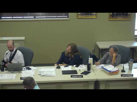
A proposal to rezone about 133 acres south of U.S. Highway 127 for a mixed‑use development called Oak Trace was tabled by the Danville/Boil County Planning and Zoning Commission after hours of public comment and technical questions.
Chris Witworth, representing JSKG Properties, called the concept “a well balanced, multifaceted development” that would add highway‑facing commercial space, office/professional uses, and RM2/RM3 residential areas designed to implement the city’s 2025 comprehensive plan. Witworth said the plan responds to “traffic counts in excess of 20,000 vehicles per day” and would tie into existing utilities and a proposed network of collector streets.
Nearby residents and landowners responded with extensive concerns. Multiple speakers said the mailed public notices contained inaccurate acreage (residents reported seeing “1,136.5 acres” on notices), and several described recurring flooding and limited emergency access around Spears Creek and local low‑slope fields. As one long‑time resident said, “When it rains behind my house, it’s like a river roaring.” Others said the project would remove a historic rock wall and overload narrow local roads such as Shakertown Road and Brook Cove.
Staff asked for more time to secure drainage and flood‑plain verification, to confirm sewer capacity with city utilities, and to coordinate a traffic‑impact contingency with the Kentucky Transportation Cabinet. Commission members said those technical items — together with a need to reissue corrected notices — warranted delay. Commissioner Nollet moved to table the rezoning; the motion carried.
What happens next: staff will seek the flood‑ and utility‑verification materials and request KYTC traffic guidance, then bring the item back after the applicant and staff have provided the outstanding documentation and after supplemental public notice is issued. The commission said it expects the applicant to coordinate with the city and state on turn lanes, roundabout possibilities and other access improvements before resuming review.
Why it matters: Oak Trace would substantially change land use along a key commercial corridor and could affect stormwater flows, traffic patterns and nearby low‑density neighborhoods. The tabling leaves open technical review and public input before any rezoning decision.