Get Full Government Meeting Transcripts, Videos, & Alerts Forever!
Get email alerts on the Management Plans topic
No spam. Unsubscribe anytime.
Committee reviews draft park management plans, attachments and adoption steps
Summary
Committee reviewed a newly circulated draft management plan for town conservation and recreation parcels, agreed on a standard attachments list (maps, acquisition notes, sitewalks) and discussed how to append future forest inventories without repeated council presentations.
The committee began its meeting by accepting the minutes from Jan. 15, then turned to a staff-produced draft of a park and open-space management plan that was circulated after the initial meeting packet. Members said the file arrived late for some and that large attachments had caused download issues, but they proceeded to review the draft and the proposed approach to organizing the plan.
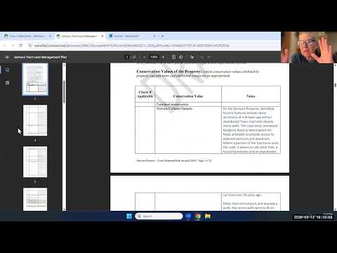
The draft, which carries forward material from a 2019 plan, separates properties into management areas — for example, an active sports-field "Lions Field" unit and an interior forest-and-trail unit for the Doorwart property. A staff member explained that large portions of the 2019 text were retained where still useful and recommended listing attachments at the front of the document so readers can quickly find maps, acquisition notes and recent sitewalk records.
Why it matters: The committee and staff said these management plans function as living documents. Members asked for a formal, auditable way to append finalized forest-inventory data and related recommendations so that maps and forest-health findings can be added without bringing minor updates to council as separate presentations.
Committee members agreed on a standard attachments list to include with each plan: a location/context map, a boundary-and-trail/topography map, acquisition-history notes for each parcel, the most recent sitewalk notes and a needed-signs inventory. Members debated whether to include detailed wetlands layers on publicly distributed park maps and generally favored citing authoritative wetlands and soils sources rather than duplicating authoritative mapping that may change.
Several members asked staff to confirm the correct regional planning affiliation noted in the plan (members discussed Windham versus the Capital Region council of governments) and to clean up embedded editorial comments before the plan is posted. The committee agreed to finalize the draft revisions and anticipated submitting a written report to the council in the fall, with the plan adoption process to be coordinated so that needed council actions (for example, authorization of modest funding) are handled together rather than in repeated presentations.
The meeting closed with staff assigned to compile the standard attachments and to confirm the recommended workflow for appending finalized inventories to the adopted plans.