Get Full Government Meeting Transcripts, Videos, & Alerts Forever!
Get email alerts on the Coastal Adaptation topic
No spam. Unsubscribe anytime.
City adaptation team unveils early three‑year waterfront concepts to address erosion and flooding
Summary
City staff presented initial concepts for a three‑mile waterfront adaptation plan focused on protecting beaches, harbor operations and inland neighborhoods from coastal erosion and ocean‑driven flooding while improving public access; staff emphasized the work is early and will be studied further before any final design.
City adaptation staff on May 26 presented initial concepts for a three‑year Waterfront Adaptation Plan that lays out options to address coastal erosion, ocean inundation and storm damage while aiming to preserve sandy beach access and harbor operations.
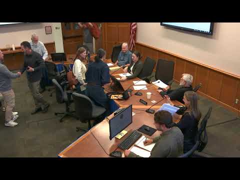
Timmy Bolton, senior climate adaptation analyst and project manager, told the Architectural Board of Review the project is funded by the California Coastal Commission, the California Coastal Conservancy and the city. He said the team’s technical modeling shows long‑term retreat and accelerating inland flooding risks along parts of the three‑mile project area and that "we're really at about the beginning of a year‑long process" to develop recommended conceptual designs.
Bolton summarized recent findings that East Beach has been eroding — on average about 5 ft of beach width per year relative to 2000 — and that the city has already spent significant cleanup and repair costs after large storms (he cited roughly $3 million for a single large storm in 2023). The analysis projects multiple sea‑level scenarios through 2075 and maps where sandy beaches are likely to be lost first.
The staff presented a toolbox of approaches: short‑term “quick wins” such as restriping parking and temporary flood proofing; core measures intended to provide multi‑benefit protection over the 30‑year horizon (for example, raised walking and biking paths that could also act as a vertical flood barrier, targeted beach nourishment and dune systems); and longer‑term structural options such as groins, headlands and rock revetments that would be considered only after more study of regional sediment impacts.
Bolton emphasized trade‑offs: "Sea walls can protect what's directly behind them, but they can also narrow the beach in front of them," while nature‑based measures may be washed away during large storms. Staff proposed a phasing approach: quick wins to build near‑term resilience and funding/permit capacity, then core projects and, where necessary, future options.
Board members asked about next steps and coordination. Commissioners pressed staff on sight‑line and visual impact studies, whether the U.S. Army Corps of Engineers would be a design partner (staff said the Corps currently is engaged for permitting and dredging but declined to be a project design partner), and the sediment and tide modeling used to test structures such as groins. Staff said a draft plan and funding/implementation pathway will be released for public review in about a year and additional technical work is planned this summer.
The board voiced broad support for studying the more durable protection options while warning that temporary measures can linger and that visual and public‑access impacts should be carefully studied. Staff said they will return with further technical analysis and community input before design is finalized.