Get Full Government Meeting Transcripts, Videos, & Alerts Forever!
Get email alerts on the Comprehensive Plan topic
No spam. Unsubscribe anytime.
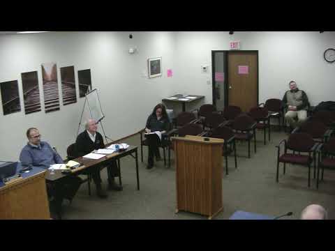
Dilworth planning commission forwards comprehensive plan to council, asks Metro staff for land‑use alternatives after resident pushback
Summary
The Dilworth Planning Commission voted to forward the draft comprehensive plan to the City Council but deferred final action on the future land use map, asking Metro staff to return in January with map alternatives that add single‑family buffer zones after residents raised concerns about medium‑density development adjacent to existing neighborhoods.
The Dilworth Planning Commission voted to recommend the draft comprehensive plan to the City Council but asked Metro staff to redraw the proposed future land use map and return in January with alternative layouts that add single‑family buffer zones between existing neighborhoods and new medium‑density sites.
Metro planner Adam, who presented the plan, told commissioners that outreach included “86 unique responses both through the survey and the interactive map.” The draft plan lays out goals for housing, transportation, parks, infrastructure and economic development and promotes a mix of housing types, including “missing middle” units such as duplexes and townhomes to address regional demand.
Residents who spoke during the public comment period urged more caution where medium‑density parcels butt up against long‑established single‑family yards. One resident said, “You say that it's getting the most bang for our buck as a city, putting medium housing density in our backyard. What about our investment?” Allison Napper, whose property sits adjacent to proposed changes, asked for a more substantial buffer: “All I'm asking for is like two rows of single housing.” Ken Park summarized survey feedback presented at a previous meeting, saying “204 or 68% supported single family,” and raised precise concerns about a proposal that some survey respondents understood could yield several hundred dwellings in the corridor.
Commissioners pressed staff on the difference between the future land use map and zoning regulations. Community development director Don Lorson explained that the map guides future zoning and that larger proposals would typically be reviewed as planned unit developments with additional public review and design controls. Commissioners debated whether to move the medium‑density designation north of the proposed 8th Avenue corridor or keep it south and add a narrow single‑family transition strip. Several commissioners described a compromise “horseshoe” or sliver of low‑density between established homes and the medium‑density node.
On the motions, the commission approved forwarding the comprehensive plan document to the City Council. For the future land use map, the commission voted to send the map back to Metro for revisions and directed staff to produce two alternatives — a buffer/sliver option at existing neighborhood edges and a Summerwood alternative that would designate that three‑acre parcel as low‑density — for consideration at a January 2026 planning commission meeting.
Next steps: Metro staff will prepare the map alternatives and return to the commission in January; the City Council will consider the comprehensive plan and any recommended map changes in a subsequent meeting.