Get Full Government Meeting Transcripts, Videos, & Alerts Forever!
Get email alerts on the Comprehensive Plan topic
No spam. Unsubscribe anytime.
Edgewood reviews land-use goals, wayfinding grant and an 18-month zoning update; residents press budget and continuity concerns
Summary
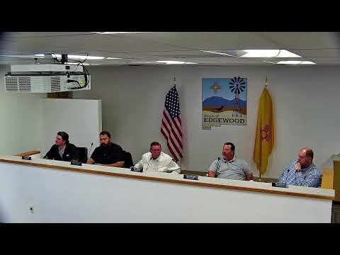
At a Feb. 24 workshop staff reviewed land-use goals from the Jan. 7, 2025 comprehensive plan, described a New Mexico Main Street wayfinding grant and an Esri-based public map/dashboard, and proposed an 18-month full zoning ordinance update; residents asked about repeated design efforts and how dumpster days and outreach are publicized.
Edgewood staff used a Feb. 24 workshop to walk commissioners and the public through land-use priorities in the town's comprehensive plan (adopted Jan. 7, 2025), to summarize a wayfinding and landscape plan supported by a New Mexico Main Street grant, and to outline a proposed timeline for a full zoning ordinance update.
Staff emphasized that the comp plan review at the workshop was not introducing new policy but rather focusing discussion on one priority area at a time. The presentation noted that strategy 1.1 (wayfinding/branding) is already in process and that some goals in the plan are highlighted as in-progress.
On wayfinding and gateway signage, staff said approvals are required for signs placed in state Department of Transportation right-of-way and that the town already maintains some gateway signage where it owns the roadway. A consultant identified as Anthropopoulos is producing landscape concepts and plant palettes as part of a grant administered with New Mexico Main Street; staff said the grant covers planning and technical-expert work while installation would be a separate, later project.
"The grant is covering the cost of all of these technical experts that are working on this program and it the plan should be completed by about June," staff said, placing the finish of the planning work in early summer.
Staff also described an online map and dashboard (hosted through Esri) that currently provides a basic parcel-and-boundary view and is planned to expand to show which roads the town maintains, zoning designations and floodplain information. Longer-term work may include implementing zoning ordinance rules in the map to help residents and staff understand regulatory constraints.
A recurring theme in public comment was concern about repeating past work. Resident Gene de Marty said he had been "waiting for someone to think about how to bring in the actual residents... instead of real estate developers," and questioned whether the town was redoing work already paid for under previous plans. Staff replied that the current project builds on prior materials, that staff are instituting continuity measures (standard operating procedures and continuity books) to retain institutional knowledge amid personnel turnover, and reiterated that the current design work is grant-funded.
On zoning reforms, staff indicated that a comprehensive update to the zoning ordinance (including setbacks, building heights and related sections such as subdivision and wastewater rules) is underway. One speaker estimated a roughly 18-month timeline to complete a townwide update from project start to finished documents and adoption, a timeframe that prompted discussion about whether doing the update townwide (to avoid spot zoning) or phasing sections by topic or geography would be faster or more practical.
Staff noted several specific operational details raised during the workshop: dumpster days are scheduled on the town calendar from April through October and are posted on the town's Facebook page; planning staff have collected community survey input for the wayfinding project and have been working on the program since about June of the previous year; and the Esri map is presently a basic public-facing tool that will be expanded.
Next steps: staff will continue work on the wayfinding plan with New Mexico Main Street and aim to complete the plan by about June; commissioners and staff will refine the scope and schedule for the zoning ordinance update and decide whether to pursue a phased or townwide approach. No formal votes or ordinance adoptions occurred at the workshop.