Get Full Government Meeting Transcripts, Videos, & Alerts Forever!
Get email alerts on the Land Use Subdivision topic
No spam. Unsubscribe anytime.
Developer outlines 37‑lot subdivision in Rindge; neighbors, board press on wetlands and Route 119 sight lines
Summary
An engineer for Boardwalk Realty presented a conceptual plan to subdivide a 242‑acre Rindge parcel into 37 lots, including a 36‑acre multifamily parcel with 16 units. Town officials and residents raised concerns about wetlands impacts, driveway sight distance on Route 119 and whether roads would be maintained privately or by the town.
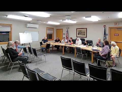
At the Rindge Planning Board meeting, a civil engineer representing the applicant described a conceptual subdivision that would divide a 242‑acre parcel owned by Boardwalk Realty into 37 lots: 36 single‑family lots and one 36‑acre parcel proposed for a 16‑unit multifamily cluster spread across four buildings. The presenter said access would be from Route 119 and the layout centers on a roughly 3,100‑foot loop road with two spurs, and that the multifamily parcel would have a separate driveway.
“I'm Shivine; I'm a licensed civil engineer with TF Group in New Hampshire,” the presenter told the board and described on‑lot wells and septic for each single‑family lot and two wells proposed to serve the multifamily buildings. He said the stormwater system would rely on swales, catch basins and two infiltration basins, and that the project will require state permits including an alteration‑of‑terrain permit and a wetlands buffer permit from New Hampshire Department of Environmental Services.
Why it matters: The parcel includes significant mapped wetlands and is near the Massachusetts line; board members and neighbors pressed the applicant on potential wetland impacts, traffic safety at the curb cut on Route 119, and whether the town would maintain the proposed roads.
Board and public questions focused on safety at the Route 119 driveway crest, the length and maintenance of the proposed roads, and whether the town or homeowners would maintain cul‑de‑sacs. A resident who said they formerly lived near the site described the road crest at the driveway as a location where vehicles “disappear,” raising the risk that drivers pulling out could be obscured. The presenter responded that driveway permitting and minimum sight‑distance requirements fall to the New Hampshire Department of Transportation and that a driveway location would be adjusted if it did not meet DOT sight‑distance criteria.
On traffic generation, the engineer said he applied standard trip‑generation charts and estimated roughly 41 vehicle trips in the peak hour for the combined single‑family and multifamily uses; he said that level typically does not trigger a DOT traffic‑impact warrant but that DOT could require a study when issuing a driveway permit.
Board members also asked about wetlands and wildlife. Planning staff and a board member flagged a feature identified by a soil scientist as a probable low‑functioning vernal pool between two hammerhead turnarounds; the presenter acknowledged the pool and said mitigation and permit conditions would be handled through the state wetland permitting process.
One planning board member said the lot sizes — ranging from about 2 to 13 acres — could preserve a wooded buffer around the development, and another noted that the design was less intensive than prior proposals that had been considered for the site.
Next steps: The applicant said they would submit formal subdivision applications in June or July for consideration at an August meeting. The board did not make a decision on the conceptual plan; members requested that the formal submission include clear calculations for wetlands impacts, confirmation of driveway sight‑distance compliance with DOT standards, and a statement on whether roads would be offered for town acceptance or held privately.