Get Full Government Meeting Transcripts, Videos, & Alerts Forever!
Get email alerts on the Ridgeline Overlay topic
No spam. Unsubscribe anytime.
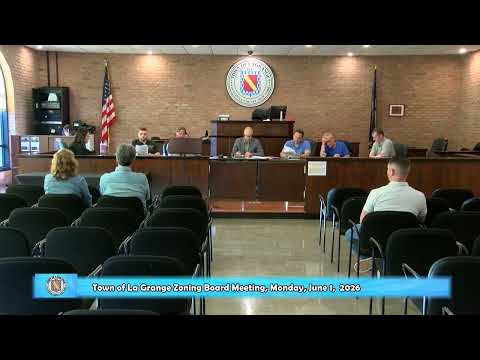
La Grange Zoning Board of Appeals upholds ridgeline overlay map, denies property owner’s challenge
Summary
On June 1 the La Grange Zoning Board of Appeals adopted a resolution modifying a prior determination to state there is no ambiguity in the Ridgeline Protection Overlay Zone map and denied an applicant’s challenge that the map and local law were invalid.
On June 1 the La Grange Zoning Board of Appeals adopted a resolution finding there is no ambiguity in the town’s Ridgeline Protection Overlay Zone map and denying an applicant’s challenge to inclusion of a property within the zone.
The board’s staff summarized three claims the applicant raised: that the original 1998 ridgeline overlay map was not properly filed with the Secretary of State, that the map was invalid because it was not stamped by a licensed engineer, and that the map filed with the 2014 local law was labeled “draft,” showing the town board never intended it as final. The board’s formal analysis concluded the ZBA does not have authority to declare a zoning law legally unenforceable but, alternatively, found the local law and map as filed in 2014 cured any adoption defects and correctly identify the overlay boundary for the parcel at issue.
Explaining the decision, the staff member said the town code gives priority to the map incorporated into local law and cited local actions including Local Law No. 4 of 2014 and Local Law No. 7 of 2006. The board’s resolution recited that the overlay map’s boundaries follow the contour method described in the code — using USGS elevations and a 200-foot elevation rule below hilltops — and that the town’s map, as adopted, places the subject parcel inside the Ridgeline Protection Overlay Zone. The resolution as read would modify the board’s 01/28/2026 determination concerning Sarah Davis to state there is no ambiguity and deny the applicant’s appeal.
Board discussion referenced parcel elevation data and the applicable local-law exhibits; staff noted that even if the 1998 filing were imperfect, the 2014 filing and incorporation of the map into the local law resolved those concerns. The staff also questioned the legal relevance of engineer-stamped maps in this context and found expert testimony offered by the applicant insufficient to overcome the town’s incorporation and filing record.
The board moved and adopted the resolution as read. The resolution modifies the earlier determination and closes the applicant’s challenge to the ridgeline map; the board recorded assent during the meeting.
The decision ends the ZBA’s review of the map’s application to the subject parcel; the resolution sets no additional conditions beyond the finding and the denial of the application.