Get Full Government Meeting Transcripts, Videos, & Alerts Forever!
Get email alerts on the Environmental Inventory topic
No spam. Unsubscribe anytime.
Environmental Commission unveils interactive Environmental Resource Inventory; board discusses hosting and updates
Summary
The Environmental Commission and consultants presented an updated, web-based Environmental Resource Inventory (ERI) to the Millburn Planning Board, highlighting interactive maps, updated flood and watershed data, climate information and the potential to host and update the ERI as a living resource for master-plan and grant use.
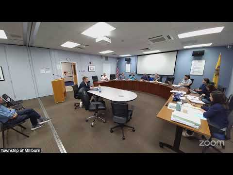
The Millburn Environmental Commission and consultant team presented an updated Environmental Resource Inventory (ERI) to the Planning Board on June 3, demonstrating a new web-based, interactive format intended to replace a largely static 2014 PDF.
Princeton Hydro consultant Thomas Parker (joining remotely) demonstrated the ERI website and its interactive mapping functions, which include parcel-level queries, watershed and wetlands layers, updated FEMA (September 2020) flood mapping, a tree inventory layer (town-owned trees), and linked narrative sections on climate, demographics and land use. Parker said the ERI took roughly two years to prepare and that the interactive format is intended to support planning reviews, grant applications, public education and master-plan updates.
On climate content, presenters summarized state-level projections incorporated in the ERI: mean-temperature increases by mid- and late-century under multiple scenarios and an expected rise in extreme-heat days and extreme-precipitation events that could stress older stormwater infrastructure. Presenters stressed that the ERI is primarily an inventory and baseline tool, not a local predictive flood model, but noted the ERI can feed the climate-change and flood-vulnerability assessments required for future master-plan updates.
Board members asked practical questions about maintaining the ERI as a 'living' document, who will host and update it, and whether local survey data could be incorporated. Consultants said the ERI is built on an ESRI/ArcGIS StoryMaps platform that the township can host; layers can be updated as local data (tree inventories, project surveys, MS4 data) become available. The board also discussed how local pocket wetlands or privately owned specimen trees might not appear in statewide base mapping, and consultants recommended incorporating project-level surveys or certified updates when available.
A few members raised technical questions about how the ERI represents precipitation and climate scenarios (noting that observed precipitation time series can be noisy and that high-emission scenarios have been re-characterized in recent climate literature). Presenters acknowledged those points and said narrative text and future ERI updates can remain aligned with state guidance and evolving scientific practice.
Planning staff told the board the ERI can be used immediately as a reference document or adopted formally by the board to support a future conservation-element update, master-plan reexamination, and other planning tools. Presenters and staff encouraged adoption to support grant writing and ordinance review and recommended establishing a hosting-and-update protocol with township administrators.
What happens next: the board will consider whether to adopt the ERI formally or accept it as a referenced planning document; staff and consultants will continue to refine hosting and update arrangements with township administrators.