Get Full Government Meeting Transcripts, Videos, & Alerts Forever!
Get email alerts on the Evans Spring topic
No spam. Unsubscribe anytime.
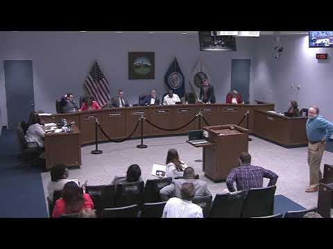
Council adds conservation option to Evans Spring plan, removes city-funded interstate connector
Summary
After hours of public comment and a broad conservation campaign, the council amended and adopted the Evans Spring master plan to explicitly allow conservation as an alternative outcome and removed language committing city funding for an interstate interchange; council kept other planning protections and vote carried on roll call.
The Rono City Council on May 18 adopted amendments to the Evans Spring plan that add an explicit conservation outcome as an acceptable alternative and strip language in the plan committing the city to fund an interstate interchange, after a prolonged public hearing and an amended motion from Councilman Nash.
The council’s action came after scores of residents, conservation groups and local land‑trust leaders urged the body to make conservation an explicit option for the roughly 150‑acre Evans Spring area. David Perry, executive director of the Blue Ridge Land Conservancy, told council the inclusion of conservation as an option would “smooth the way for privately‑funded, publicly accessible nature park outcomes” and help unlock grant funding and purchases by conservation organizations.
Planning staff presented three paths: reaffirm the 2024 plan, adopt minor amendments, or conduct further study for major changes. Staff and a majority of the planning commission had recommended modest amendments (option two). In the hearing, speakers including the Friends of Evans Spring and representatives of the Blue Ridge Land Conservancy argued for option three, saying it would preserve tree canopy, protect wetlands, extend the Lick Run Greenway and help reduce urban heat‑island impacts in northwest neighborhoods.
Council amended the draft plan to adopt “option three” language that: (a) states conservation is an acceptable alternative outcome for specified land bays (particularly land bays A, D and E), (b) replaces the large‑footprint, destination retail label for Land Bay A with education, mixed‑use commercial, parks and open space, and (c) preserves a residential density gradient near adjoining neighborhoods. Council also removed plan language that appeared to commit the city to funding the proposed interstate connector; the amended plan retains the city’s ability to consider access and infrastructure if future rezonings or proposals warrant it.
Vice Mayor Maguire and several council members said the change preserves land‑owner rights — ownership and eventual rezonings remain with property owners — while adding a clear path for conservation if landowners and conservation funders reach agreement. Planning manager Katherine Gray cautioned that a full shift to conservation in large portions of the plan area would require additional study (stormwater, traffic and utilities) before any major policy or implementation decisions.
The amended ordinance passed on roll call with all seven council members voting in favor. Council members emphasized that the plan now contains multiple pathways — conservation, village‑scale development, or a mixed outcome — and that future rezonings would still be subject to standard public notice and review.
The council also directed staff to prepare follow‑up materials to clarify which land bays are prioritized for conservation language and to summarize transportation and access implications, including how the Lick Run Greenway connections could be implemented without large new interchanges. That follow‑up will be available to council and the public ahead of future formal rezonings or development proposals.