Get Full Government Meeting Transcripts, Videos, & Alerts Forever!
Get email alerts on the Land Use Vesting Tract topic
No spam. Unsubscribe anytime.
Planning commission refers 77‑lot tentative tract map back to staff after concerns about riparian trees
Summary
The planning commission voted May 21 to send Vesting Tentative Tract Map 7427 back to staff for study after Sierra Club speakers and several commissioners raised concerns that the proposed layout would destroy a riparian cottonwood stand and that the project's mitigations do not adequately address habitat and air quality impacts.
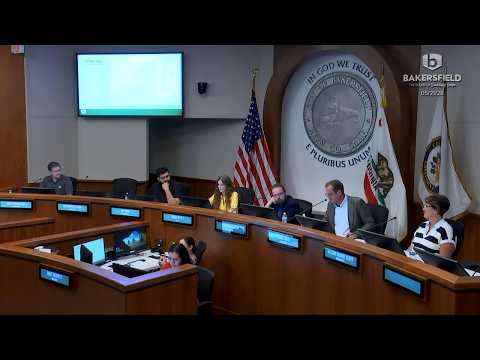
Chair Cassie Biddle opened the May 21 meeting of the City of Bakersfield Planning Commission and commissioners heard a staff recommendation to adopt a mitigated negative declaration (MND) and approve Vesting Tentative Tract Map (VTM) 7427, a proposed subdivision that would divide 21.54 acres at the southwest corner of Chase Avenue and Daytona Drive into 77 single‑family lots.
Veronica Martinez, associate planner with the Development Services Department, told the commission that staff's initial study found that, with mitigation measures for air quality, biological resources, cultural resources and traffic, the project would have no significant environmental impacts and staff recommended adoption of the MND and approval of the map.
Members of the Sierra Club urged the commission to reconsider. Gordon Nip, vice chair of the local Sierra Club chapter, said the project site contains "a small forest of trees" and quoted the MND language describing "facultative species associated with cottonwood riparian forest plant community," arguing the map shows the riparian area would be buried under new streets and lots. "This project will destroy this riparian forest," he said, and he questioned whether the California Department of Fish and Wildlife had been notified as required under Fish and Game Code provisions.
Another conservation speaker said she has worked with city staff on a habitat conservation plan and proposed additional surveys and student involvement to document mammals and habitat before irreversible grading. Several Sierra Club speakers also complained about how the organization's testimony was handled at a prior meeting and urged the commission to require stronger mitigation and preserve the riparian enclave as open space.
Commissioners pressed staff on the biological conclusions in the record. Commissioner Kedar asked whether the aerial imagery and the biological resource study support the conclusion that the site does not meet thresholds requiring special protections. Martinez and staff said a qualified biological resources study is in the record and that the study concluded the site did not meet the minimum thresholds called out under state and federal endangered‑species criteria; staff indicated mitigation measures were included in the MND. The record did not show a Fish and Wildlife permit at the hearing.
Multiple commissioners—citing the difficulty of transplanting native riparian trees and the long‑term nature of vesting tentative tract approvals—recommended the commission consider alternatives that would preserve the stand rather than write replacement planting into a later landscape plan. Commissioner Kater moved to refer the tract map back to staff to study incorporation of the riparian habitat into the tentative track design; Commissioner Strickland seconded. The motion passed with Commissioner Core absent.
Next steps: staff will study options to incorporate the riparian area into the tract layout or propose other site design changes and return the item to the commission for further consideration.