Get Full Government Meeting Transcripts, Videos, & Alerts Forever!
Get email alerts on the Spatial Technology topic
No spam. Unsubscribe anytime.
Hoffman Estates director outlines expanded spatial-technology program to aid planning and public safety
Summary
Peter Ferretti, Hoffman Estates’ director of spatial technology, described the village’s push to integrate street-level imagery, real-time field data, survey monuments and 3D building models into a single platform to improve planning, infrastructure and emergency response.
Peter Ferretti, the director of spatial technology for the village of Hoffman Estates, described a set of new mapping and data-integration steps the village is taking to support planning, infrastructure and public safety.
Ferretti said the village is “bringing together multiple sources of information into one clear, visual picture” so officials can make “faster, smarter, and more informed” decisions about development, infrastructure and emergency response. He called the work a shift beyond traditional mapping tools toward integrated, operational systems.
As concrete steps, Ferretti said the village is updating Google Street View across the entire village using specialized camera systems and has staff and contractors collecting accurate, real-time field data to support public-works operations. He said the village shares and receives live updates on traffic hazards and road conditions through a partnership with Ways for Cities.
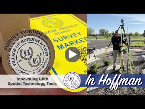
Ferretti also said the village is installing official survey monuments throughout Hoffman Estates to create a reliable foundation for future mapping and engineering projects. On public safety, he said the village is integrating calls-for-service and other operational data to “better understand patterns and improve response strategies,” and is building 3D models of public buildings to help first responders plan before emergencies occur.
Throughout the presentation Ferretti emphasized integration across departments and with public contributions: “We’re bringing all of this data together from multiple departments and multiple sources, even from the public, into a single shared platform.” He said that combination of data and modeling makes the village more “coordinated, proactive, and responsive.”
The recorded briefing was a presentation of ongoing technical work and included no formal board motions or votes. Ferretti closed by saying the village’s spatial-technology efforts are intended to help Hoffman Estates serve residents now and into the future.