Get Full Government Meeting Transcripts, Videos, & Alerts Forever!
Get email alerts on the Street Addressing topic
No spam. Unsubscribe anytime.
Carmel adopts citywide street‑address system after multi‑year volunteer and GIS effort
Summary
The City Council adopted a citywide street‑address identification system and map after a multi‑year volunteer and staff effort that assigned addresses to over 4,000 parcels and created the city’s first multi‑unit building inventory; county and USPS integration is underway.
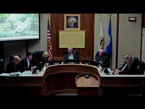
After years of discussion and volunteer mapping, the Carmel‑by‑the‑Sea City Council voted to adopt a comprehensive citywide address identification system and the official addressing map.
Administrative analyst Emily Ger described a months‑long effort involving staff and volunteers that matched parcel numbers to addresses, produced a GIS 'shape file' usable by utility companies and mapping vendors, and documented multi‑unit buildings. Ger said volunteers and staff assigned numbers for roughly 4,000 assessor parcels and assembled a new database of multi‑unit occupancies. "We were able to assign addresses to APN numbers, a little bit over 4,000 in about three and a half months," Ger said.
Staff submitted the data to Monterey County on May 8 to allow county systems, the U.S. Postal Service and major map providers (Apple, Google, HERE) time to integrate. Ger told the council that county review generally takes two weeks to two months, and that the USPS and major mapping providers typically follow within days to weeks of county approval. She said utilities have requested the city provide the addressing data as a GIS shapefile to facilitate rapid integration.
Residents and volunteers who led the work drew repeated praise during public comment. Several speakers, including council members, thanked Kevin Roose and the address work group for the on‑the‑ground mapping effort. Councilors said the change should improve emergency response, utility service and online delivery accuracy for both residents and businesses.
Council approved the implementing resolution and map and directed staff to coordinate launch with Monterey County, USPS and private mapping providers. Officials urged residents to watch for mailed notices explaining any next steps for multi‑unit occupants and changes to how addresses appear in utility and election databases.
The council also agreed to post public guidance explaining how residents should update services and voter records and to explore a community outreach event (an address help booth) so residents and businesses can confirm how the new addresses will appear in utility and postal systems.