Get Full Government Meeting Transcripts, Videos, & Alerts Forever!
Get email alerts on the Invasive Species Mapping topic
No spam. Unsubscribe anytime.
Maine invasive plant biologist Chad Hammer demos iMap Invasives desktop tools
Summary
Chad Hammer of the Maine Department of Agriculture, Conservation and Forestry demonstrated iMap Invasives’ desktop interface, showing login, filters for confirmed/unconfirmed records, navigation and measurement tools, project/organization management, email alerts and how to create presence and treatment records (including Survey123 mobile workflows).
Chad Hammer, invasive plant biologist with the Maine Department of Agriculture, Conservation and Forestry, demonstrated the desktop version of iMap Invasives and walked attendees through logging in, searching, filtering and creating records on the mapping platform.
Hammer began by directing users to the site’s Help & Resources section and recommended maximizing the video display for demos. He urged new users to confirm accounts via email before logging in and showed the site’s landing page and links to user manuals and tutorial videos.
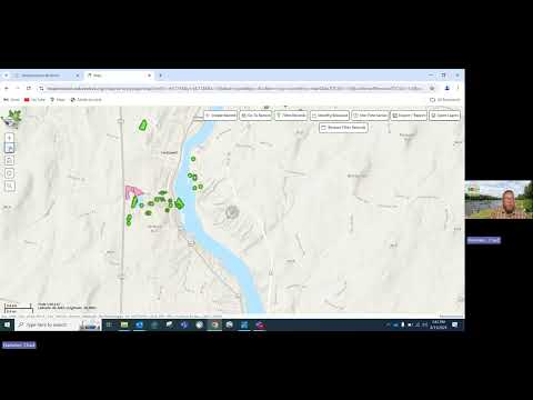
Hammer demonstrated the map view and explained the platform’s aggregated hexagon tiles: “just because there’s no data outside of those jurisdictions, it doesn’t mean there’s no invasive species there,” he said, and recommended filtering the view to the Maine jurisdiction to speed results. He described how green points indicate confirmed records and unconfirmed points remain pink until a reviewer with a quality photograph verifies them.
The demonstration covered navigation and action tools. Hammer showed how to pan and zoom, use the home/default view and crosshairs, search by address or coordinates, and measure distances or draw polygons to list all species inside an area. He said users can search records by record ID, observer name (to view only personal submissions), species, taxa, growth habit and habitat type. He noted account-level options are different for jurisdictional administrators.
Hammer also showed temporal filters and export options, explaining that any export (GIS file or CSV) will reflect whatever filters are active. He warned that closing certain menu tabs can remove the map tab and clear filters, requiring re‑login; he advised keeping the map tab open to preserve filters and settings.
On species name entry, Hammer emphasized the importance of the auto-populate feature to ensure common names are paired with the correct scientific name in jurisdiction lists, using Japanese stiltgrass as an example of why manual misspelling can fail to match records.
The platform integrates extra geographic layers and base maps so users can view timber-harvest openings, streams and other landscape features that explain distribution patterns. Hammer cautioned that toggling the iNaturalist layer brings nationwide data (which can slow the interface) and recommended turning it off after use.
He walked through project and organization tools, showing how to request to join or create projects and how to find organization and person ID numbers required for the Survey123 mobile app. He demonstrated creating email alerts (scans) that notify users when a specified species or an early-detection species comes within a chosen distance of a defined area.
Finally, Hammer demonstrated record creation. Users can create presence points, multi-record search-area polygons, treatment records (mechanical, manual, chemical) and not-detected records; the Survey123 mobile app supports more detailed field entry and offline collection including multi-species polygons. Hammer closed by thanking attendees and offering follow-up via the contact provided in the session.
The demonstration focused on practical steps for using the desktop UI for planning, surveying and quick reporting rather than policy decisions; no votes or formal actions were taken during the session.