Get Full Government Meeting Transcripts, Videos, & Alerts Forever!
Get email alerts on the Bellingham Plan Access topic
No spam. Unsubscribe anytime.
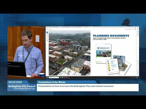
Long Range Planning Manager Chris Behe walks council through accessing the 2025 Bellingham Plan online
Summary
City planning staff demonstrated how the newly adopted 2025 Bellingham Plan and related resources can be found and used on the city's website, showed interactive map and search tools, and addressed council questions about screen-reader accessibility and alt text.
Long Range Planning Manager Chris Behe gave a guided tour of the newly adopted 2025 Bellingham Plan and related online resources at the Bellingham City Council Committee of the Whole meeting, showing how members of the public and council can find the plan on the city's website and use its interactive tools.
Behe said the plan is the product of more than two years of work and that “all of the action was taken last December.” He described the session as an orientation so the public and council could “find the plan easily on the website” and learn to use features such as chapter links, a goal-and-policy search tool and an interactive map viewer.
The presentation emphasized navigation steps and search tips. Behe demonstrated search terms (for example, “Bellingham plan” or “comprehensive plan”) and the navigation path Services → Community Planning → Comprehensive Plan to reach the plan's main page. He walked through chapter links and said policies appear as bold goals with supporting items (for example, LU1–LU10 under clustering growth). Behe also showed dashed-underlined terms that link to the glossary, allowing readers to jump to definitions such as “wildland urban interface.”
Behe demonstrated the plan’s interactive map viewer that links to the city's GIS tools; zooming reveals lot lines and clicking parcels shows land-use designations and the specific policy text that applies. He said the map is intended to help property owners and residents confirm whether a parcel is in a given designation.
On tools for research, Behe showed a goal-and-policy search table that filters by chapter, aggregates related policies, and supports simple text searches. He advised users to include a leading space for short search terms (for example, typing " tree" to avoid returning every occurrence of "streets").
The presentation covered alternate formats: a printable 8.5-by-11 version for local print shops and a screen-reader–accessible text copy (no images or graphics). “We do anticipate it's a living document. It'll get updated annually as we move forward,” Behe said, and he explained the online resources page is intended to host dynamic supporting data that can be updated without a comp plan amendment.
Council members asked questions about accessibility. Councilman Anderson raised state accessibility requirements, saying, “I know the state has some, laws and stuff for compliance for accessibility.” Behe replied that the screen-reader copy currently omits images and thus has no page numbers and that staff have compiled alt-text descriptions for every picture, chart and table. He said the city is exploring web-based tools that might generate accessible outputs on the fly and that he would raise the page-number question with the team.
Behe also pointed to a resources section that links to adopted-by-reference documents (urban village plans, institutional master plans) and to a page that summarizes five development-related ordinances adopted late last year—highlighting that coliving and accessory dwelling unit code changes are permanent while some items (parking, middle housing, design review) are interim and will be revisited.
The presentation was informational only; no council action was taken at this meeting because the ordinance adopting the plan was approved at the December meeting. The chair moved on to old and new business and announced an executive session to discuss potential property acquisitions with estimated durations and a report-out scheduled for the regular evening meeting.
What happens next: staff said they would follow up on accessibility formatting (page numbers and mediation) and continue to maintain the plan’s live resource pages and GIS datasets.